Civic Tech Field Guide
Sharing knowledge and productively growing the fieldThe Tech > Civic data > Mapping - (138)
Technologies to collect, plot, and display geographic data.
Suggested reading: In Borneo, Indigenous communities are using mapping tech to claim their land rights and fight the expansion of oil palm plantations. (Rest of World)
Showing 138 Results

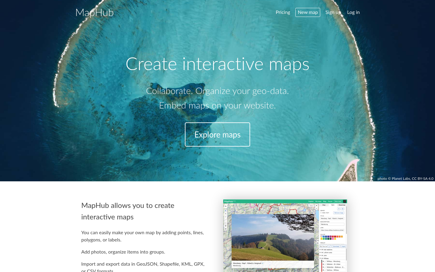
gvSIG Desktop
Valencia (Spain)A powerful, user-friendly, interoperable GIS used by thousands of users worldwide.

Doroob
West Bank (al-Ḍiffah al-Gharbīyah)Updated maps by local staff from your community to match map frequent changes equiped by location services.

تطبیق "أزمة" ھو تطبیق فلسطیني يعرض حالة الأزمات المرورية التي تفرضھا حواجز الاحتلال


OpenGroupMap is an open platform for creating and sharing collaborative maps. It enables communities, groups, and organizations to build shared geographic knowledge bases.


Verkehrszeichen in OpenStreetMap
Germany (Deutschland)Verkehrszeichen sind wertvolle Daten in OpenStreetMap.

The Life and Times of Citibike #32606
New York City806 days, 8,624 trips, 7,060 miles. Thank you for your service.

Google Cloud now offers Geospatial Analytics, Generative AI on Street View imagery, and more environmental data as part of the broader Google Maps Platform

Mike Tahani's data viz gallery. It includes mapping, journalism, politics, outer space, and data visualization.

GAMA is an easy-to-use open source modeling and simulation environment for creating spatially explicit agent-based simulations.

OpenStreetMap Americana
United States of America (the)A new OpenStreetMap style by the US chapter

GeoMSF Platform
Washington, DCA full suite of mapping and geodata tools developed by and for Medecins Sans Frontieres

デジタル空間社会連携研究機構ではIoTデバイスからのデータなどの多様でダイナミックなリアルタイム時空間ビッグデータを一元的に集約し、これらを統合した形で人々や企業の活動、交通

Google Research is applying AI to satellite and aerial imagery to build a Heat Resilience tool, helping cities understand how to reduce surface temperatures through planting trees or using highly-reflective surfaces, like cool roofs.


StoryMapJS is a free tool to help you tell stories on the web that highlight the locations of a series of events. Tells a story based on a series of singular point locations.

This app finds missing map data in your vicinity and displays it on a map as quests. Solve each quest by visiting the location on-site and answering a simple question to update the map.

EveryDoor is an OpenStreetMap editor for POIs and entrances.

The Sketch Map Tool is an easy-to-use tool for participatory sketch mapping through offline collection, digitization and georeferencing of local spatial knowledge. The tool has a variety of applications. For example, do you want to work together with people in a community to map their experience and perception of risk in their neighbourhood in a paper-based format, but still be able to quickly analyse the results digitally? Then, the Sketch Map Tool is exactly what you need!

The Export Tool is an open service that creates customized extracts of up-to-date OSM data in various file formats.

FIeldTM allows for coordinating field mapping activities in Open Mapping campaigns. While there are existing field mapping applications, there is a lack of efficient tools to coordinate these activities. The FMTM builds on the HOT Tasking Manager and other mapping applications to provide a more streamlined and organized process for completing field mapping tasks.

Cloud-Native Geospatial Foundation
Washington, DCThe Cloud-Native Geospatial Foundation encourages adoption of highly efficient and accessible approaches to working with geospatial data over the Internet.

TreeKIT
New York CityWe’re helping city dwellers measure, map, and manage street trees.

Cutting-edge map tools for historical research. Search, explore, and discover the history of your surroundings through historical maps.

Powering current and next-generation map products by creating reliable, easy-to-use, and interoperable open map data

The Atlas contains measurements of nine indicators for cities all around the world.

Auglinn
Wilmington, DEDrop notes and questions outdoors with augmented reality, and create 2D and 3D maps. Interact with citizens outdoors and let the city speak.

Bangladesh Open Innovation Lab (BOIL)
Dhaka, BangladeshOur aim is to build a community that supports the Open Data and uptake of the Living Lab paradigm.

FedGeoDay
Washington, DCFedGeoDay is THE event devoted to "open geospatial ecosystems" (open source software, open/collaborative mapping, open science challenges, and open engagements) that are used to initiate and grow capabilities across the U.S. federal government.

Cycling updates to Google Maps now take account of traffic conditions and the availability of high-quality cycling infrastructure

Postcode => Westminster constituency converter
United Kingdom of Great Britain and Northern Ireland (the)Enter a UK postcode and this tool returns the constituency it belongs to

MapIt
United Kingdom of Great Britain and Northern Ireland (the)The easy way to match points to boundaries

digitize your city
Valencia, Carabobo, VenezuelaDigitize your city is a series of actions that seek to create a friendlier environment through the use of technology previously influenced by us and the data we consciously create and deliver.

We provide research and development to support decision making in the field of sustainable mobility and humanitarian aid. We accomplish this through open geoinformation, open methods, open software and close collaboration with our partners.

Social Explorer
New York, USAGain deep insights into any location of interest through thousands of data variables and stunning visualizations. Reinforce your decisions with Social Explorer’s reliable data mapping capabilities. Watch Videoplay_arrow

Digital Commons Lab
TrentoDigital Commons Lab (DCL) is a research laboratory of the Digital Society center of FBK with the goal to design, develop and analyze digital commons based on open data.

The Systemic Racism Pin
Quebec City, QC, CanadaWe highjacked Google Maps API to create a geolocated placename called Systemic Racism, just in front of the Parliament of Quebec, where it'd be impossible for the Premier to ignore.

HOT Tasking Manager
1100 13th Street NW Suite 800 Washington, D.C. 20005The tool to team up for mapping in OpenStreetMap

OpenAerialMap
1100 13th Street NW Suite 800 Washington, D.C. 20005OpenAerialMap is an open service to provide access to a commons of openly licensed imagery and map layer services. Download or contribute imagery to the growing commons of openly licensed imagery. Start Exploring

מפת מחאות יום ד' 1.3.23
Israel (Jisra'el)"Here’s a real-time map of the hundreds of protests taking place across Israel as the pro-democracy movement there hits its ninth week of massive participation. An estimated 400,000 people turned out across the country last weekend; that’s five percent of its population" - Micah Sifry, The Connector

UN Mappers is a community of mapping enthusiasts collaborating to collect, validate and disseminate geospatial open data in areas where the United Nations carries out field operations with the goal of supporting the decision-making process with more accurate location-based data.

Humanitarian OpenStreetMap activation Turkey earthquake
1100 13th Street NW Suite 800 Washington, D.C. 20005With this mapathon, the UN Mappers community wants to join the efforts of the NGO Yer Çizenler and the OpenStreetMap community to map buildings and roads in the area.

Kenya Digital Public Works
Nairobi"DPW set out to answer a question: Can the youth use affordable and widely available technologies to gather the information necessary to support informal settlement upgrading?"

Spatial Collective
NairobiWe support communities and organizations in adopting available technologies to collect data that is important to them

We have all the redistricting data you can use to draw or analyze Community of Interest or District maps


Conversations with Volunteers
Southern and East AfricaOpen Mapping Hub Eastern & South Africa's podcast
Get email updates
Helpful Links
Reach Out
A project of

With support from
National Endowment for Democracy
Founding Organization
Civic Hall
Technology partner

 Civic Tech Field Guide