Civic Tech Field Guide
Sharing knowledge and productively growing the fieldTag: Issue > mobility - (60)
Showing 60 Results

Subway Builder
New York City (NYC / New York, NY)Subway Builder is a hyperrealistic transit simulation game. Build a new subway system from the ground up while dealing with real-world constraints and costs.

Breathe-in
WarsawThrough the ‘Breathe-in’ project, part of the Breathe Cities Programme, teenagers are influencing mobility decisions that will affect their futures.
New Air Quality Stats Dispel Earlier Forecasts for Congestion Pricing Pollution
New York City (NYC / New York, NY)Air quality has improved or remained steady across the five boroughs since congestion pricing launched in January, according to a new batch of data released by the city Department of Health — another sign that the traffic toll is delivering a better city.

Operation Vulindlela
South Africa (South Africa, Afrika-Borwa, Suid-Afrika) 🇿🇦Operation Vulindlela is a joint initiative of the [South African] Presidency and National Treasury to accelerate the implementation of structural reforms and support economic recovery.


City Bus Manager
Germany (Deutschland) 🇩🇪Build your own bus depot from scratch and create your personal bus routes in City Bus Manager.

The report explores Uber, Cabify and Bolt’s compliance with competition, labor and consumer protection laws in Spain.
Congestion Pricing Tracker
Brown UniversityCurious whether Congestion Pricing is having an impact on commutes in NYC? Take a look to compare traffic data before and after Congestion Pricing

GAMA is an easy-to-use open source modeling and simulation environment for creating spatially explicit agent-based simulations.

OpenTrainTicketing
Germany (Deutschland) 🇩🇪Digital Ticketing made simple for railways.

Baseline vulnerable road user injury risk in multiple U.S. dense urban driving environments
Mountain View, CAWaymo partnered with dashcam company Nexar to analyze 500 million miles of driving, including 335 crashes, to create the 'largest ever’ dataset of pedestrian and cyclist injuries

The project will establish a workshop to bring community-centered planning to the emerging technology of autonomous vehicles (AV)

Counting trucks for environmental justice

The Atlas contains measurements of nine indicators for cities all around the world.

Karachi Chal
KarachiYour AI based Itinerary planner for the City of lights.

When 'doing ethics' meets public procurement of smart city technology – an Amsterdam case study
Amsterdam[A] multi-stakeholder co-design project – including a citizen panel – is an integral part of the process in which the service is designed and realized

Riding Forward: Overhauling Citi Bike’s Contract for Better, More Equitable Service
New York City Council, Broadway, New York, NYThis report reviews Citi Bike’s performance to-date and recommends a comprehensive contract overhaul to ensure more reliable and equitable service, with a strategic mix of performance standards, attention to equitable service, and incentives to enable Citi Bike to thrive as a key element of the transportation network – whether under Lyft or a new operator.

Street Activity Sensors
New York City (NYC / New York, NY)8-month pilot to test 12 computer-vision sensors across four boroughs of NYC to employ machine vision and improve street-level data collection and improve planning decisions
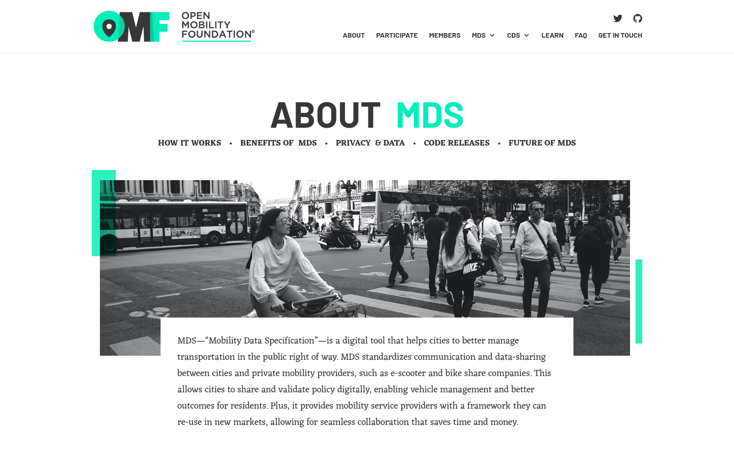
Mobility Data Specification (MDS)
United States of America 🇺🇸MDS standardizes communication and data-sharing between cities and private mobility providers, such as e-scooter and bike-share companies.

Mapatón Ciudadano
XalapaMapeo colaborativo de rutas de transporte con herramientas de software libre para futuras ciudades sostenibles.
RoadLab
LondonThis Transport for London project looks to introduce new ways to reduce adverse impacts of roadworks in London, by working with innovative companies to shape these in a way that responds to the problems London faces.

Copenhagen Solutions Lab
CopenhagenAt Copenhagen Solutions Lab, we support the development of the city through testing and implementation of intelligent and data-driven solutions, that support the needs of the city and its citizens.

We provide research and development to support decision making in the field of sustainable mobility and humanitarian aid. We accomplish this through open geoinformation, open methods, open software and close collaboration with our partners.

Civic Infrastructure Collaborative drives public value from core urban infrastructure through cross-sector collaboration and technology-enabled innovation.
Tow Zone Alerts
BostonWe help people avoid getting ticketed and towed when they park on the street through simple SMS alerts.

Citify
Lithuania (Lietuva) 🇱🇹Citify is an online platform designed to track planned and existing real estate projects, ranging from apartment complexes and business centers to streets, bike paths, parks, and schools.

A transportation operating system for orchestrating, governing, and powering modern mobility.

The cities in this Atlas represent the vanguard of urban governments that are hosting tests, developing their own autonomous vehicle (AV) pilots, making plans and policy, and monitoring developments in AV technologies, uses, and markets.


Future Cities Catapult
United Kingdom of Great Britain and Northern Ireland 🇬🇧The UK's innovation accelerator for cities, transport & place leadership.

The Privacy Principles for Mobility Data are a set of values and priorities intended to guide the mobility ecosystem in the responsible use of data and the protection of individual privacy.

How's my Driving NYC
NYC Department of Finance - Financial Business Center, Joralemon Street, Brooklyn, NYSearch New York City parking & camera violations

Vision Zero NYC map
New York City Department of Transportation, Queens Plaza North, Long Island City, NYA map visualizing traffic in the city with incidents

Veovo
Auckland, New ZealandVeovo instantly measures the number of passengers moving through a subway station to identify crowding and make service more efficient. The MTA can use this information to improve the deployment of staff to stations, change train distribution and plan more efficient station design.

Streetmix
PhiladelphiaCivic engagement for street design

Smart Colombus Playbook
Columbus, OHAs the winner of the U.S. Department of Transportation’s (USDOT) Smart City Challenge, we’ve been offered a unique opportunity: $50 million in grant funding from the USDOT and Paul G. Allen Philanthropies to discover how we can accelerate human progress through open mobility.

Populus
San FranciscoA PLATFORM FOR CITIES TO MANAGE THE FUTURE OF MOBILITY

Transitland
AlamedaTransitland is an open data platform powered by GTFS, GTFS Realtime, GBFS, and other open data feeds from 2,500+ transit operators across 55+ countries.

Proterra
1815 Rollins Road, Burlingame, CA 94010Heavy-duty electric vehicle manufacturer delivering clean, quiet transportation for all.

Preteckt
88 Union Ave, Memphis, Tennessee 38103Preteckt studies vehicle data from buses to predict system failures at least 48 hours before the Check Engine light is activated and the bus must be removed from service. Preteckt’s insights have the potential to reduce time spent on maintenance, prevent service disruptions and reduce fleet costs.

vis.gl
Uber HQ, Market Street, San Francisco, CAUber's open-source, WebGL-powered visualization frameworks

Transit Innovation Partnership
New York City (NYC / New York, NY)The Transit Innovation Partnership is a public-private initiative launched by the Metropolitan Transportation Authority and the Partnership for New York City with the mission to make New York the global leader in public transit.

NUMO New Mobility Atlas
10 G St NE Suite 800 Washington, DC 20002A comprehensive look at the growing world of new mobility.

FixMyBerlin
Platz der Luftbrücke 4-6, 12101, Berlin, GermanySupporting the transformation of cities towards a more sustainable mobility through data analysis and digital communication.

MoCho: Mobility Choices and Societal Impacts
MIT Media Lab, Amherst Street, Cambridge, MAThis tool helps predict the choices of mobility modes made at the individual level throughout the entire Boston Metro area.

Cities benefit from open dockless data
Washington, DCA dockless bike and scooter pilot in Washington DC that provides ridership information and more data to help plan a more integrated transportation system.

Waze Connected Citizens
Waze, Yigal Alon Street, Tel Aviv-Yafo, IsraelOver a thousand cities and other public sector partners are already working with Waze to gain better data and insights; reduce driving alone with Waze Carpool; and to make their communities safer with Waze's Beacons and Crisis programs.

Strava Metro
Strava Office, Potrero Avenue, San Francisco, CAMetro is the largest active transportation dataset on the planet.

CoMotion LA
Los AngelesThe Global Laboratory of Future Mobility

Open Mobility Foundation
Los AngelesMunicipalities across the country have joined together to create a new global non-profit organization called the Open Mobility Foundation to support the development of open-sourced software that provides scalable mobility solutions for cities.
Get email updates
Helpful Links
Reach Out
A project of

With support from
National Endowment for Democracy
Founding Organization
Civic Hall
Technology partner

