Civic Tech Field Guide
Sharing knowledge and productively growing the fieldThe Tech > Civic data > Crowdsourcing - (143)
Platforms that allow a variety of people to contribute data to a common collection. See also: Participatory Sensing, "an approach to data collection and interpretation in which individuals, acting alone or in groups, use their personal mobile devices and web services to systematically explore interesting aspects of their worlds ranging from health to culture." - IDS UCLA
Showing 143 Results

Ripoti Africa
LagosRipoti enables you to report digital rights violations.

CEUK scorecards marking tool
United Kingdom of Great Britain and Northern Ireland (the)This is a tool for crowdsourcing data, initially designed for gathering data about local authority climate actions for https://councilclimatescorecards.uk/

Watch The Med
European Union (EU)Watch The Med is an online mapping platform to monitor the deaths and violations of migrants’ rights at the maritime borders of the EU. The WatchTheMed project was initiated as part of the 2012 Boats4People campaign in the Central Mediterranean. Today the project further involves a wide network of organisations, activists and researchers. Through the transnational cooperation with migrants’ rights organisations, activists, researchers, migrants, seafarers active in, around and beyond the Mediterranean and the use of new mapping technologies, WatchTheMed aims to document the deaths and violations that are the structural product of the militarized Southern European border regime. The online map allows to spatialise incidents across the complex legal and political geography of the Mediterranean Sea. Through the accounts of survivors and witnesses, but also the analysis of ocean currents, winds, mobile phone data and satellite imagery, it is possible to determine in which Search and Rescue zone, jurisdictions and operational areas an incident occurred – as well as showing other boats who were in the vicinity of those in distress. Spatialising such information is essential to determine responsibility for violations at sea. Apart from reconstructing past events, the participatory nature of the platform allows many different actors to to indicate ongoing situations of distress. The documentation generated by WatchTheMed seeks to support the work of organisations that defend migrants’ rights, inform migrants of their rights and security at sea, pressure authorities into respecting their obligations at sea, support the ongoing campaigns by the relatives of the dead and disappeared at sea, and support legal proceedings against those who violated the rights of migrants.

Disfactory
Taipei City, TaiwanCrowdsourced reporting on Illegal Factories on Farmland in Taiwan

Sakepedia and Code for SAKE
Japan (Nihon or Nippon)Crowdsourced project to collect data on sake and sake breweries from across Japan, integrates lost historical data, and utilizes digital technology to establish stronger connections between producers and consumers.

Jonmat
SeoulVerified restaurant map based on the history of congressional donations (국회의원 후원금사용내역을 기반으로 한 검증된 맛집지도)

남양유없
Republic of South Korea (Hanguk or Namhan)남양 제품인지 확인해보세요

The Workers' Algorithm Observatory (WAO)
Princeton University, Princeton, New Jersey, USAWorker-led audits in the platform economy

政治獻金數位化 (g0v Campaign Finance)
Taiwan (T'ai-wan)Crowdsourced project to digitize campaign finance records and detect corruption

Deep Submergence Dive location dataset from Bell et al. Sci Advances: How Little We've Seen: A Visual Coverage Estimate of the Deep Seafloor
United States of America (the)The largest dataset of deep seafloor imagery ever assembled, showing "we have visually observed less than 0.001%"

Capitol Riot Map
TexasMapping the networks of the 1,580 individuals who were arrested, charged, or convicted for participating on the attack on the U.S. Capitol on January 6, 2021.

Lukim Gather
Williamsburg, VAHow do we ensure that community data from Papua New Guinea’s protected areas is reported and heard?

Identifying Terminated USAID Programs
United States of America (the)This form is to help quickly identify what activities were terminated in the February 25 Armageddon at USAID.

Wiki Education
Chico, CaliforniaWiki Education engages students and academics to improve Wikipedia

Watch Duty
Santa Rosa, California, USAWatch Duty, a 501(c)(3) nonprofit, alerts you of nearby wildfires and firefighting efforts in real-time.

Unanimous AI
San FranciscoUnanimous AI develops Swarm® & Swarm AI® technology that amplifies human intelligence, empowering groups to optimize their collective knowledge, wisdom, and intuition by forming real-time AI systems [plus Thinkscape and Mindmix]

Crowdvocate
United Kingdom of Great Britain and Northern Ireland (the)Write for the causes you care about, and predict which points will prove most powerful. On Crowdvocate you can help create campaigns that change minds – and win real money while you're at it.

This app finds missing map data in your vicinity and displays it on a map as quests. Solve each quest by visiting the location on-site and answering a simple question to update the map.

The Sketch Map Tool is an easy-to-use tool for participatory sketch mapping through offline collection, digitization and georeferencing of local spatial knowledge. The tool has a variety of applications. For example, do you want to work together with people in a community to map their experience and perception of risk in their neighbourhood in a paper-based format, but still be able to quickly analyse the results digitally? Then, the Sketch Map Tool is exactly what you need!

Access street-level imagery and map data from all over the world. Fill in the gaps by capturing coverage yourself.

Mapeo is a free, easy-to-use, open source set of tools for collecting and mapping information. Mapeo was built by Digital Democracy with and for earth defenders to easily document environmental & human rights information and to collect data about their land. It was designed to work in entirely offline environments, is highly customizable, and built on a decentralized peer-to-peer database that allows communities to own their own data.

FIeldTM allows for coordinating field mapping activities in Open Mapping campaigns. While there are existing field mapping applications, there is a lack of efficient tools to coordinate these activities. The FMTM builds on the HOT Tasking Manager and other mapping applications to provide a more streamlined and organized process for completing field mapping tasks.

MapRoulette has dozens of mapping Challenges that are created by experienced mappers. Each Challenge is about improving OSM in one very specific way

SmartRR is a virtual one stop shop for Gender Based Violence and Sexual Reproductive Health. We are committed to creating a safer, more supportive world for survivors and adolescent girls.

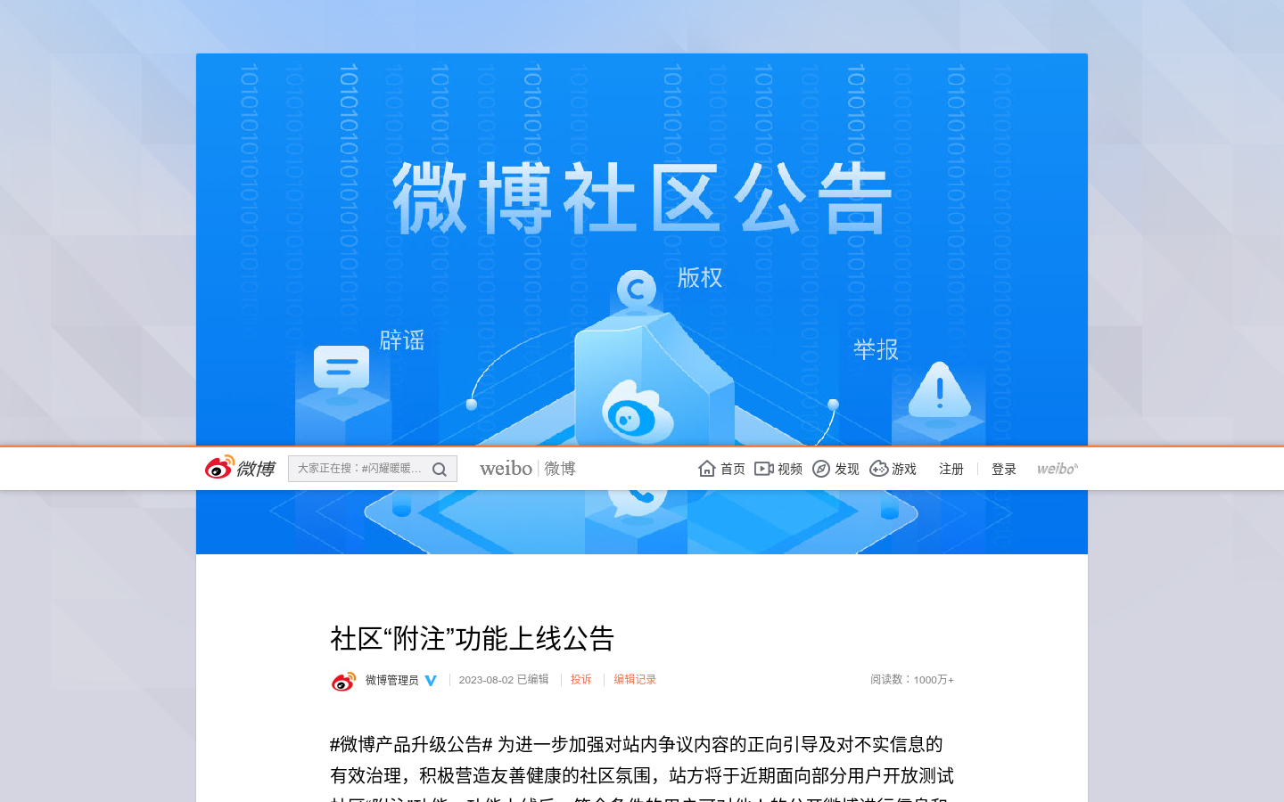
Weibo Community Notes feature (社区“附注”功能上)
China (Zhong Guo)Like X and YouTube, China's Weibo platform instituted community notes annotations to fight disinformation on the platform.

FloodLight
PakistanA Code for Pakistan initiative to Crowdsource the flood-related data from the 2022 Floods in Pakistan.

Bring Independent News to Russians (by adding code to your website to display news that Russian authorities cannot block)

Falling Fruit
Boulder, COFalling Fruit is a massive, collaborative map of the urban harvest.

Eye On Corruption
GhanaEye on Corruption App is a mobile application which allows people to report/submit a corruption related complaint to the Advocacy and Legal Advice Centre (ALAC).
AAPI Hate Tracker
New York CityThe AAPI Hate Tracker is a place where you can easily report incidents and connect to organizations to receive support.

WhoFundsThem
United Kingdom of Great Britain and Northern Ireland (the)WhoFundsThem is mySociety's new project looking into MPs’ and APPGs’ financial interests.

Democracy Club Candidates
Stroud, UKOpen candidate information for UK elections covering all 2,015 areas

OpenLitterMap
Cork, IrelandHelp us create the world's most advanced open database on litter, brands & plastic pollution.

8M LATAM
Latin AmericaEl objetivo es realizar un archivo fotográfico que muestre la realidad de la extensión del movimiento feminista, incluyendo la variedad de experiencias, testimonios y emociones que plasma el 8M en nosotras.

SocorroBot
Mexico (Estados Unidos Mexicanos)SocorroBot is an interactive guide designed to assist individuals in the process of reporting a missing person in Mexico.

Landlord Tech Watch
United States of America (the)Campaign website explaining landlord / proptech surveillance and what tenants can do to fight back

digitize your city
Valencia, Carabobo, VenezuelaDigitize your city is a series of actions that seek to create a friendlier environment through the use of technology previously influenced by us and the data we consciously create and deliver.

Facts and Fakes in video
Russian Federation (the)Fact-checking video for Youtube and Rutube: displaying references to refutations, proofs and disputs of the facts contained in the video, as well as the video rating of the video and the overall channel rating.

Location Aware Sensing System (LASS) Environmental Sensor Network
Taiwan (T'ai-wan)LASS (Location Aware Sensing System) is an open source and public welfare "environmental sensor network system". 是一套開源和公益的「環境感測器網路系統」

Safecity
United States of America (the)Safecity empowers communities worldwide to report and combat gender-based violence through crowd-sourced data and technology.

Mob Data Thailand
Bangkok, Thailandเว็บไซต์ม็อบดาต้าไทยแลนด์ (Mob Data Thailand) พัฒนาขึ้นโดย แอมเนสตี้ อินเตอร์เนชั่นแนล ประเทศไทย และโครงการอินเทอร์เน็ตเพื่อกฎหมายประชาชน (ไอลอว์) เพื่อให้เป็นฐานข้อมูลการชุมนุมสาธารณะที่เกิดขึ้นในประเทศไทย โดยเริ่มบันทึกข้อมูลตั้งแต่เดือนมกราคม 2563 และเปิดให้ทดลองใช้งานตั้งแต่วันที่ 7 สิงหาคม 2563

Online community tracking earthquakes with Raspberry Shakes: Professional grade seismograph and infrasound monitors that anyone can use to record and visualize both natural and human activity.

Ukraine is calling
Luxembourg (Luxembourg, Letzebuerg)We are raising €10 million to buy 112 rescue vehicles for Ukraine.


