Civic Tech Field Guide
Sharing knowledge and productively growing the fieldSearch Results - map (656)
Showing 656 Results
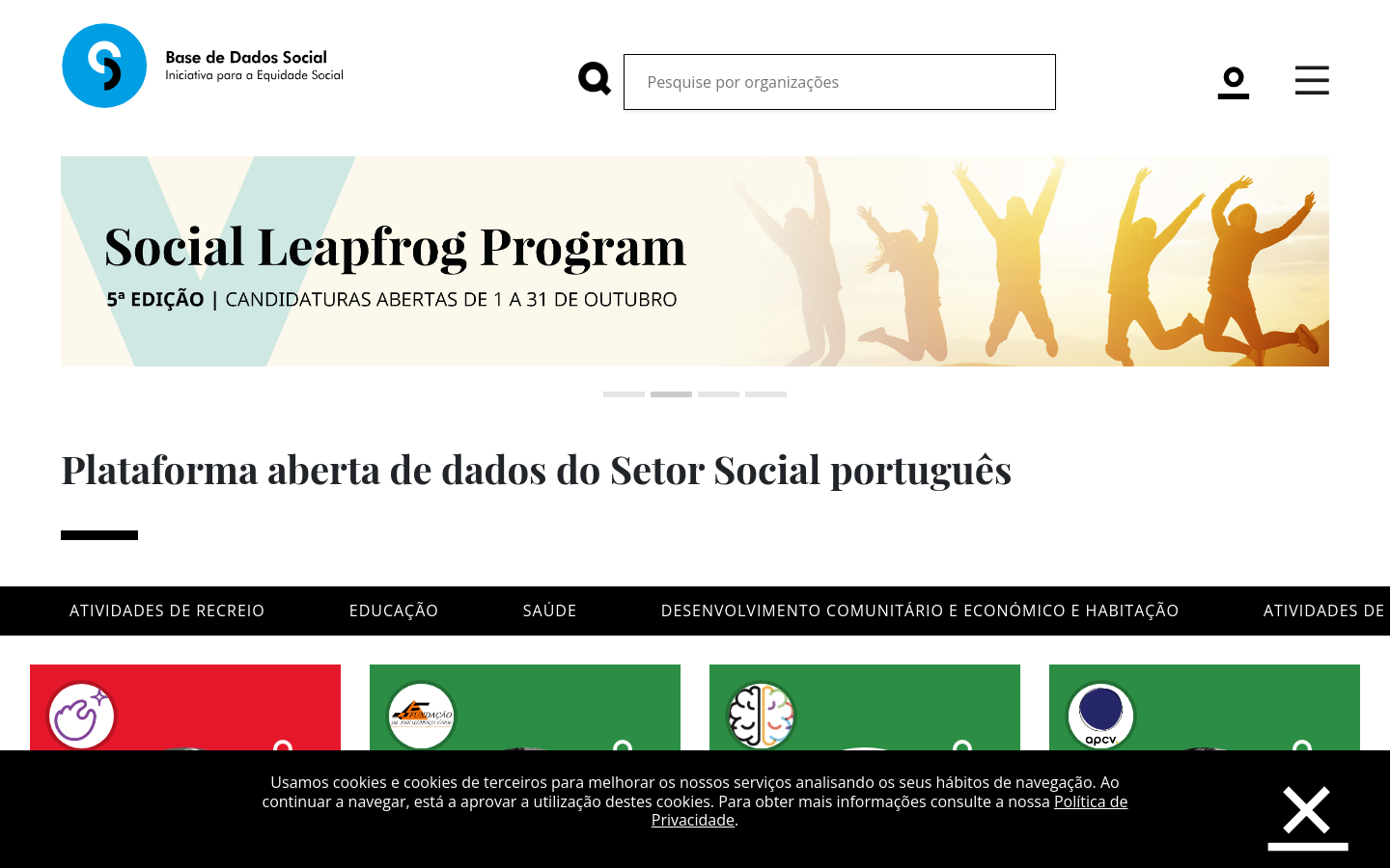
Base de Dados Social
LisbonMoved by these challenges, Nova SBE’s team, represented by the Nova SBE Data Science Knowledge Center, started mapping the social ecosystem by creating a public and easily accessible platform aimed at providing quality information in a simple, intuitive, complete, and fair way about all social and environmental impact organizations in Portugal.

GeoMSF Platform
Washington, DCA full suite of mapping and geodata tools developed by and for Medecins Sans Frontieres

Govwatch
AthensRule of Law monitoring platform - Govwatch is a collective map of the state of the rule of law in Greece, made up of reports not just from the Govwatch team, but also from civil society organisations, journalists and academics, and citizens.

The Upward Mobility Dashboard helps people understand key conditions affecting upward mobility from poverty and racial equity in communities.
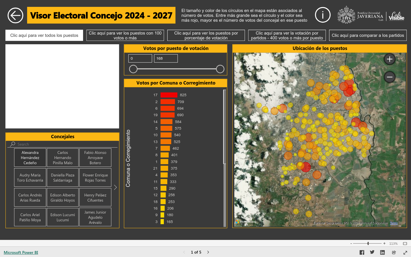
Visor Electroal Concejo 2024 - 2027
ColombiaVote map and data dashboard showing support for elected representatives in Cali, Colombia

デジタル空間社会連携研究機構ではIoTデバイスからのデータなどの多様でダイナミックなリアルタイム時空間ビッグデータを一元的に集約し、これらを統合した形で人々や企業の活動、交通

Google Research is applying AI to satellite and aerial imagery to build a Heat Resilience tool, helping cities understand how to reduce surface temperatures through planting trees or using highly-reflective surfaces, like cool roofs.

The Export Tool is an open service that creates customized extracts of up-to-date OSM data in various file formats.


Field Papers is a tool to help you create a multi-page atlas of anywhere in the world. Once you print it, you can take it outside, into the field, to record notes and observations about the area you're looking at, or use it as your own personal tour guide in a new city.

Healthsites.io establishes this data and the tools necessary to upload, manage and make the data easily accessible.

Kepler.gl is a powerful open source geospatial analysis tool for large-scale data sets.

EveryDoor is an OpenStreetMap editor for POIs and entrances.

Rapid integrates advanced mapping tools, authoritative geospatial open data, and cutting-edge technology to empower OpenStreetMap mappers at all levels to get started quickly, making accurate and fresh edits to maps.

Measure from images: A unique photogrammetry software suite for mobile and drone mapping PIX4Dmapper: Photogrammetry software for professional drone mapping

FIeldTM allows for coordinating field mapping activities in Open Mapping campaigns. While there are existing field mapping applications, there is a lack of efficient tools to coordinate these activities. The FMTM builds on the HOT Tasking Manager and other mapping applications to provide a more streamlined and organized process for completing field mapping tasks.

Turn-by-turn navigation, OpenStreetMap, Crowd-Sourced Traffic, 3D maps, Satellite maps, Offline maps and Transit. Entirely free.

We initially designed it as a decision support tool for humanitarian mappers. Now it has grown in functionality and use cases. Whether you work in disaster management, build a smart city, or perform research on climate change, Disaster Ninja can help you in a number of ways (see more info on website).

This app finds missing map data in your vicinity and displays it on a map as quests. Solve each quest by visiting the location on-site and answering a simple question to update the map.

Surveillance Watch is an interactive map that documents the hidden connections within the opaque surveillance industry.

Cloud-Native Geospatial Foundation
Washington, DCThe Cloud-Native Geospatial Foundation encourages adoption of highly efficient and accessible approaches to working with geospatial data over the Internet.

A Visual Guide to the Influencers Shaping the 2024 Election
United States of America (the)From Hasan Piker to Logan Paul, this interactive display maps how online personalities on the right and the left are using their massive followings to influence the US election.
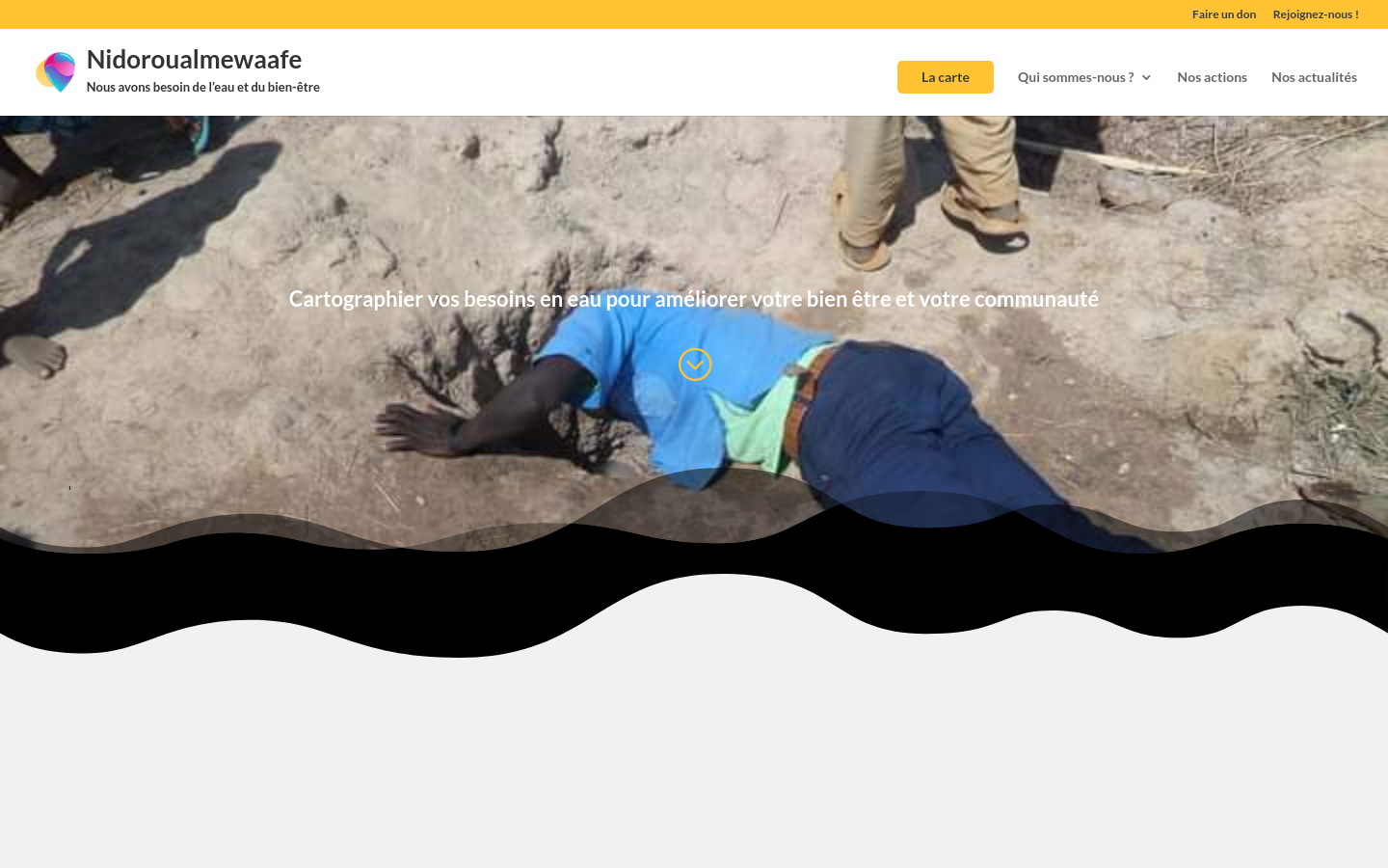
NIDOROUALMEwaAFE
Chad (Tchad)Using GPS mapping technology, Nidoroualmewaafe identifies areas that do not have access to safe drinking water and shares this information with local authorities and communities to inform decision-making.

Give Food
United Kingdom of Great Britain and Northern Ireland (the)We're a UK charity that uses data to highlight local and structural food insecurity then provides tools to help alleviate it.

TreeKIT
New York CityWe’re helping city dwellers measure, map, and manage street trees.
Public Data Access Programs - A First Look
Washington, DCThe EU’s Digital Services Act mandates greater researcher data access from platforms; Mozilla and the National Conference on Citizenship investigated 19 platforms’ responses

The contributions in this volume map out how technologies are used and designed to plan, maintain, govern, demolish, and destroy the city.
Collaborative Cities: Mapping Solutions to Wicked Problems shows citizens and city leaders how to produce public value through action using location intelligence to get at the heart of complex issues
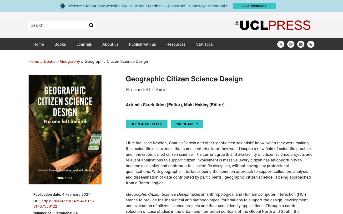
Geographic Citizen Science Design
United Kingdom of Great Britain and Northern Ireland (the)This book presents a selection of wide-ranging case studies that provide insights into the design, interaction barriers, and lessons learned from a diverse set of participants.

The intelligence of a city is the capacity to learn: to learn the past, its history and the culture of its territory.

Please note that the content of this book primarily consists of articles available from Wikipedia or other free sources online

The book proposes an analytical map of developments in deliberative democracy (DD) that departs from previous attempts to explain them by using alleged "turns" (epistemic turn, empirical turn, etc
User research is an effective strategy to gain a deeper understanding of your target audience — a crucial step in order to choose efficient design solutions and build smart products
Starting from the 1980s, this book provides the first, complete history of the idea of deliberative democracy, analysing its relationship with the earlier idea, and practices, of participatory democracy in the 1960s and 1970s.

This book examines how international organisations (IOs) have struggled to adapt to the digital age, and with social media in particular

This book will help today's leaders and thinkers implement these practices in their own pursuit of creative solutions that are both innovative and achievable.
The Handbook of Party Politics is the first book to comprehensively map the state-of-the-art in contemporary party politics scholarship

This book presents creative forms of sharing driven by idealistic positions and collective actions, thus offering new approaches to sharing of spaces and architecture, experience and knowledge, data and collective histories

The book features contributions that report original research in the theoretical, technological, and social aspects of geoinformation methods, as applied to supporting citizen science.

The production and consumption of news in the digital era is blurring the boundaries between professionals, citizens and activists. Actors producing information are multiplying, but still media companies hold central position. Journalism research faces important challenges to capture, examine, and understand the current news environment. The SAGE Handbook of Digital Journalism starts from the pressing need for a thorough and bold debate to redefine the assumptions of research in the changing field of journalism. The 38 chapters, written by a team of global experts, are organised into four key areas: Section A: Changing Contexts Section B: News Practices in the Digital Era Section C: Conceptualizations of Journalism Section D: Research Strategies By addressing both institutional and non-institutional news production and providing ample attention to the question ‘who is a journalist?’ and the changing practices of news audiences in the digital era, this Handbook shapes the field and defines the roadmap for the research challenges that scholars will face in the coming decades.

This book opens with an examination of the technological reality on which Smart Cities are built, from the chips and sensors that enable us to monitor what happens within the infrastructure to the smartphones that connect individuals.
This book maps the DESIS Labs' efforts to date and their degrees of success
The first book devoted to a critically important aspect of disaster planning, management, and mitigation Technology and Emergency Management, Second Edition describes best practices for technology use in emergency planning, response,
User Unfriendly will be valuable to historians of technology, students of American culture, and anyone interested in our modern dependence on machines and gadgets

The Oxford Handbook of Deliberative Democracy takes stock of deliberative democracy as a research field, in philosophy, in various research programmes in the social sciences and law, and in political practice around the globe

Project Oasis is a research effort to map independent digital media organizations, news creators and publishers-in-exile across 68 countries.

Mapping debris cleanup following Hurricane Beryl 2024
This is a free and collaborative resource on the United States federal Freedom of Information Act (FOIA).

The Atlas contains measurements of nine indicators for cities all around the world.

Auglinn
Wilmington, DEDrop notes and questions outdoors with augmented reality, and create 2D and 3D maps. Interact with citizens outdoors and let the city speak.
Get email updates
Helpful Links
Reach Out
A project of

With support from
National Endowment for Democracy
Founding Organization
Civic Hall
Technology partner

 Civic Tech Field Guide