Civic Tech Field Guide
Sharing knowledge and productively growing the fieldSearch Results - map (656)
Showing 656 Results

Verkehrszeichen in OpenStreetMap
Germany (Deutschland)Verkehrszeichen sind wertvolle Daten in OpenStreetMap.

Miami Affordability Project (MAP)
Miami, FLThe Miami Affordability Project (MAP) is an interactive online map providing data on the distribution of affordable housing, housing needs, demographic profiles, and environmental resiliency in greater Miami.

Open Infrastructure Map is an open-source map of the world's infrastructure using data from OpenStreetMap.
The uneven reach of the state: A novel approach to mapping local state presence
Norway (Norge, Noreg)A machine learning model trains on geo-located survey data to predict state presence.

Capitol Riot Map
TexasMapping the networks of the 1,580 individuals who were arrested, charged, or convicted for participating on the attack on the U.S. Capitol on January 6, 2021.
The Impact Map
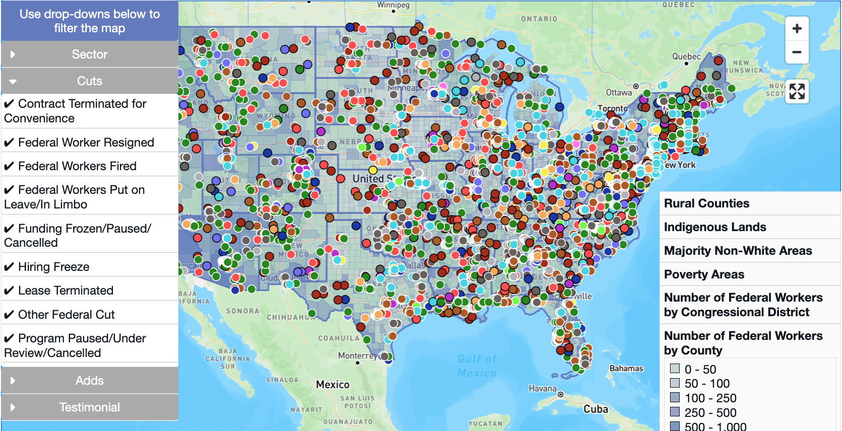
United States of America (the)The Impact Map provides timely data—as it becomes available—on policy, funding, and workforce changes and their localized effect. This tool is currently in beta and will continue evolving, so you may find areas that need updating.

Google Cloud now offers Geospatial Analytics, Generative AI on Street View imagery, and more environmental data as part of the broader Google Maps Platform
FCC National Broadband Map
Washington, DCThis map displays where Internet services are available across the United States, as reported by Internet Service Providers (ISPs) to the FCC. The map will be updated continuously to improve its accuracy through a combination of FCC verification efforts, new data from Internet providers, updates to the location data, and—importantly—information from the public.
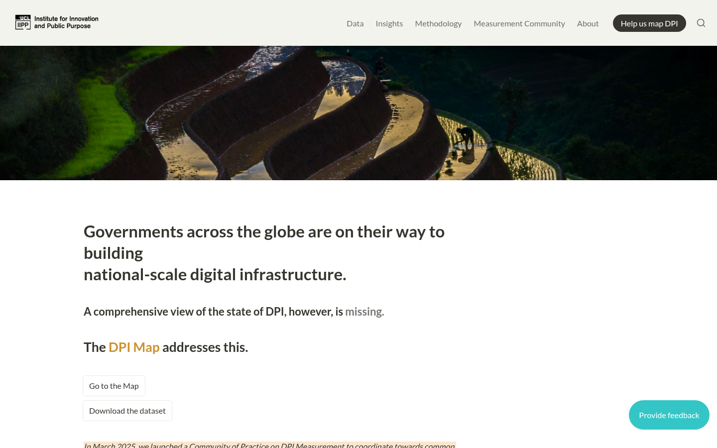
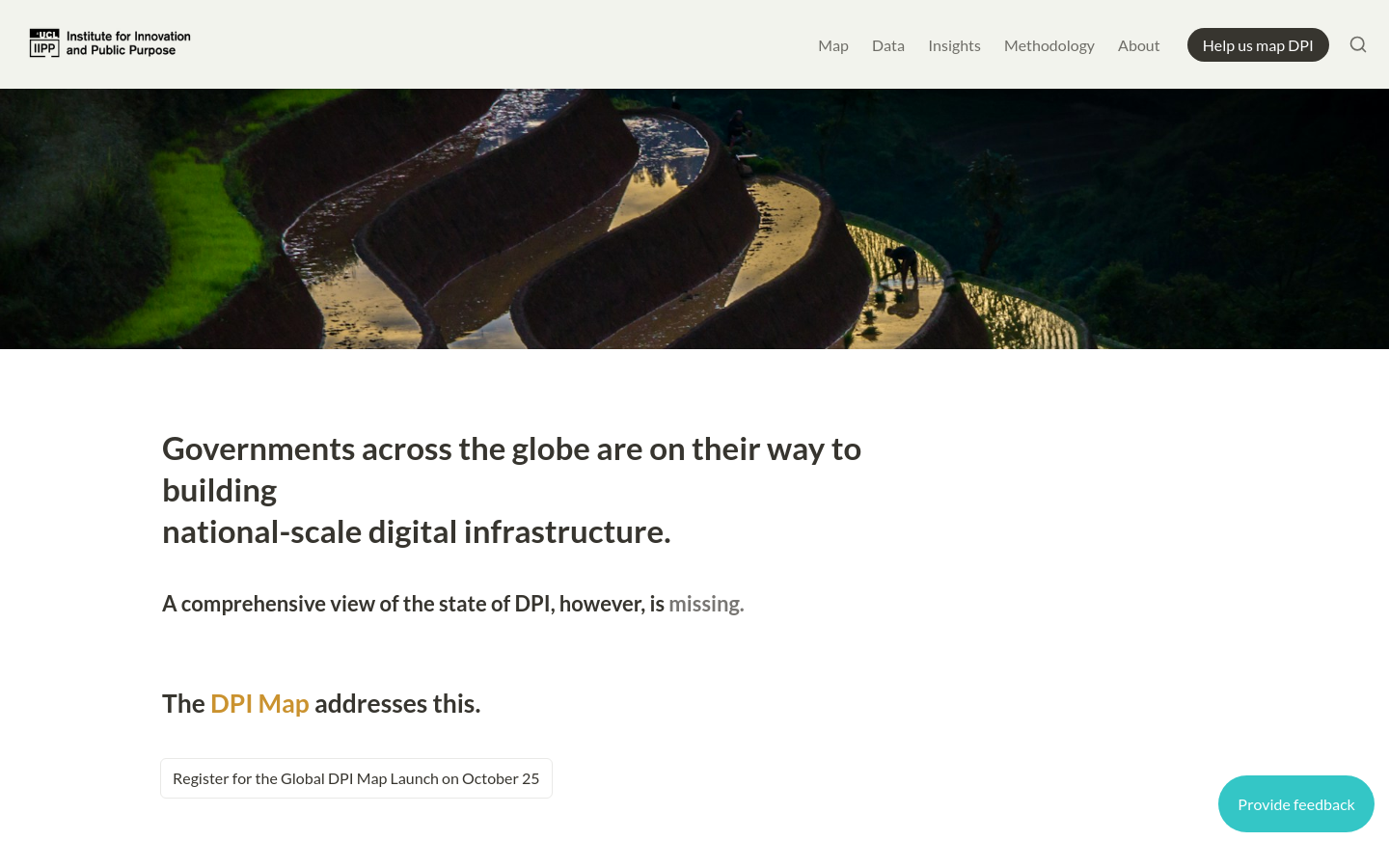
The DPI Map is a comprehensive initiative that aims to provide a global view of the state of digital public infrastructure (DPI), including deployments of digital ID, real-time payment, and data exchange systems across the world
This website provides a comprehensive market map of AI agent technologies, covering various categories such as agent orchestration, runtime services, and industry-specific applications
The AI Governance Map is an interactive visualization that provides an overview of the AI governance landscape, including key organizations, initiatives, and resources related to the responsible development and deployment of AI systems
Superglue is an open-source data integration platform that automatically extracts, maps, and transforms data from any system into the desired format, eliminating the need for complex integration code
In 2024, the Wikimedians for Sustainable Development user group marked its fifth year, advancing sustainability within the Wikimedia movement through active participation in meetings, events, and communications
Datadaptive's Postcodes in Polygon tool allows users to draw an area on a map and retrieve a list of postcodes within that area in Great Britain, using data from the November 2024 release of the ONS Postcode Directory product
aidsmap
United Kingdom of Great Britain and Northern Ireland (the)We provide independent, accurate & accessible information about HIV.


Debatomap / Carticipe
FranceUn outil basé sur le retour d’expérience de sociologues et spécialistes de la concertation publique territoriale

Landlord Mapper
Chicago, ILLandlord database & interactive map to promote property ownership transparency in rental markets
Digital Public Infrastructure Map
55-56 Russell Square, Bloomsbury, London WC1B 4HP, UKGovernments across the globe are on their way to building national-scale digital infrastructure. A comprehensive view of the state of DPI, however, is missing. The DPI Map addresses this.
OpenStreetMap Americana
United States of America (the)A new OpenStreetMap style by the US chapter

America's Healthy Democracy Ecosystem Map
Washington, DCOur goal is to identify, categorize, and quantify existing organizations, networks, and funders who work to promote and protect healthy democracy in America. We aim to create a compelling, interactive resource that educates and empowers users to engage in democracy.

Community Network Map
United States of America (the)This map shows municipal networks across the United States.
We’re building sustainable solutions for collecting, processing, analyzing and displaying aerial data while supporting the communities built around them.

Mark and find wheelchair accessible places — worldwide and for free. Wheelmap is the map for wheelchair accessible places

StoryMapJS is a free tool to help you tell stories on the web that highlight the locations of a series of events. Tells a story based on a series of singular point locations.

The Sketch Map Tool is an easy-to-use tool for participatory sketch mapping through offline collection, digitization and georeferencing of local spatial knowledge. The tool has a variety of applications. For example, do you want to work together with people in a community to map their experience and perception of risk in their neighbourhood in a paper-based format, but still be able to quickly analyse the results digitally? Then, the Sketch Map Tool is exactly what you need!

This map...illustrates a [Congress] in a state of dysfunction, with growing dissatisfaction on the part of the public, waning trust in its ability perform, and -- most significantly -- large-scale disengagement from the system by the public.

UK Constituency Data Hex Maps
United Kingdom of Great Britain and Northern Ireland (the)This site maps data about UK constituencies on hex maps (cartograms). We have created several themes (economy, energy, environment, health, society, and transport) and have filled those with separate pages for each data aspect.

Cutting-edge map tools for historical research. Search, explore, and discover the history of your surroundings through historical maps.


Powering current and next-generation map products by creating reliable, easy-to-use, and interoperable open map data

Kidmapping is an information resource for parents, human rights activists, volunteers and activists. Here you can find information about all kinds of locations of deported children in Russia, Belarus or occupied regions of Ukraine.

We leverage remote sensing technology to detect, pinpoint, and quantify methane and carbon dioxide (CO2) emissions at the scale of individual facilities.

A fun illustrated map charting AI Safety efforts across blogs, podcasts, training, support, governance, research, and so on.

Hurricane Mapping (Sea Island Software)
Richmond, VAWe are Sea Island Software, Inc., a company specializing in hurricane threat assessment. HurricaneMapping.com is our storm tracking service for Google Earth and ESRI's ArcGIS.

OpenLitterMap
Cork, IrelandHelp us create the world's most advanced open database on litter, brands & plastic pollution.


Cycling updates to Google Maps now take account of traffic conditions and the availability of high-quality cycling infrastructure


Housing Courts Must Change! Map
New York City, NY, USAHousing Courts Must Change! (HCMC) is a statewide campaign launched by the Right to Counsel NYC Coalition in 2020 to transform the courts across New York State (NYS) from an “eviction machine” to a place that holds landlords accountable, upholds tenants’ rights, and enables tenants to remain in their homes.

NYC Street Map
New York City, NY, USANYC Street Map is an ongoing effort to digitize official street records, bring them together with other street information, and make them easily accessible to the public.

전국 공보 지도 (National Public Information Map)
Republic of South Korea (Hanguk or Namhan)Code for Korea's project digitizing government gazettes '공보’란 국가기관과 지방자치단체가 대국민에 정부의 소식을 알려주는 소식지를 말합니다.


District 33 Street Tree Stewardship Map
Brooklyn, NYThis map will help us grow volunteer engagement at a neighborhood level and track our progress towards increasing tree stewardship across District 33 (in New York City)

Data Mapping Cornwall
CornwallData Mapping Cornwall provides a summary of this spatial investigation of Cornwall, conducted by a large team of academics, experts and postgraduate students between September 2016 and March 2017.

Posting towns in the USA with a population less than 1000 that are undermapped on OpenStreetMap.org

The state of Civic Tech Research in Africa: An Evidence Map
South Africa (South Africa, Afrika-Borwa, Suid-Afrika)The Evidence Mapping project aimed to create a common, up-to-date evidence/ knowledge base about civic tech in the African context, to improve support, decision-making and advocacy in relation to civic tech (including more broadly civil society innovation, tech for good and digital governance).

OpenAerialMap
1100 13th Street NW Suite 800 Washington, D.C. 20005OpenAerialMap is an open service to provide access to a commons of openly licensed imagery and map layer services. Download or contribute imagery to the growing commons of openly licensed imagery. Start Exploring
Get email updates
Helpful Links
Reach Out
A project of

With support from
National Endowment for Democracy
Founding Organization
Civic Hall
Technology partner

 Civic Tech Field Guide