Civic Tech Field Guide
Sharing knowledge and productively growing the fieldSearch Results - info (1507)
Showing 1507 Results


Center for an Informed Public
The Information School, Mary Gates Hall, Northeast Grant Lane, Seattle, Washington, USATo resist strategic misinformation, promote an informed society, and strengthen democratic discourse.

Visualizing open data in Georgia


Tinfoil is a place where we can talk about digital security, privacy, and journalism.

The North American Cartographic Information Society (NACIS) is an enjoyable society of map enthusiasts. We have yearly meetings, an online discussion forum, and we work on a variety of projects and publications which promote good map making. We hope you’ll drop by and be a part of our collegial community.


White paper analysis of the Internet Research Agency’s (IRA) activities to influence US politics

This article is my attempt to create and maintain a comprehensive list of projects attempting to address the misinformation and disinformation problem in a scalable, systemic fashion. Efforts which…

Ethical Guidelines and Best Practices for the Use of Volunteered Geographic Information and Remotely Sensed Imagery in Crisis Situations
1200 New York AveThis project will develop ethical principles and guidelines, as well as draft best practices for the use of remote sensing and volunteered geographic information (VGI) in crisis situations.

New Jersey Civic Info Bill
New JerseyEstablishes New Jersey Civic Information Consortium; appropriates $20 million from General Fund and $1 million annually thereafter.

MisinfoCon is a global movement focused on building solutions to online trust, verification, fact checking, and reader experience in the interest of addressing misinformation in all of its forms.

The Civic Information API allows you to build applications that allow citizens and voters to know about their political representation and voting locations.

First Draft is maintaining a database of expert sources on coronavirus for journalists to contact for up-to-date information on the outbreak.

The Center for Informed Democracy and Social Cyber-Security (IDeaS)
5000 Forbes Avenue, Pittsburgh, PA 15213, USACarnegie Melon's center for disinformation, hate speech and extremism online

We created Athenian Project to ensure that state and local governments have the highest level of protection and reliability for free, so that their constituents have access to election information and voter registration.
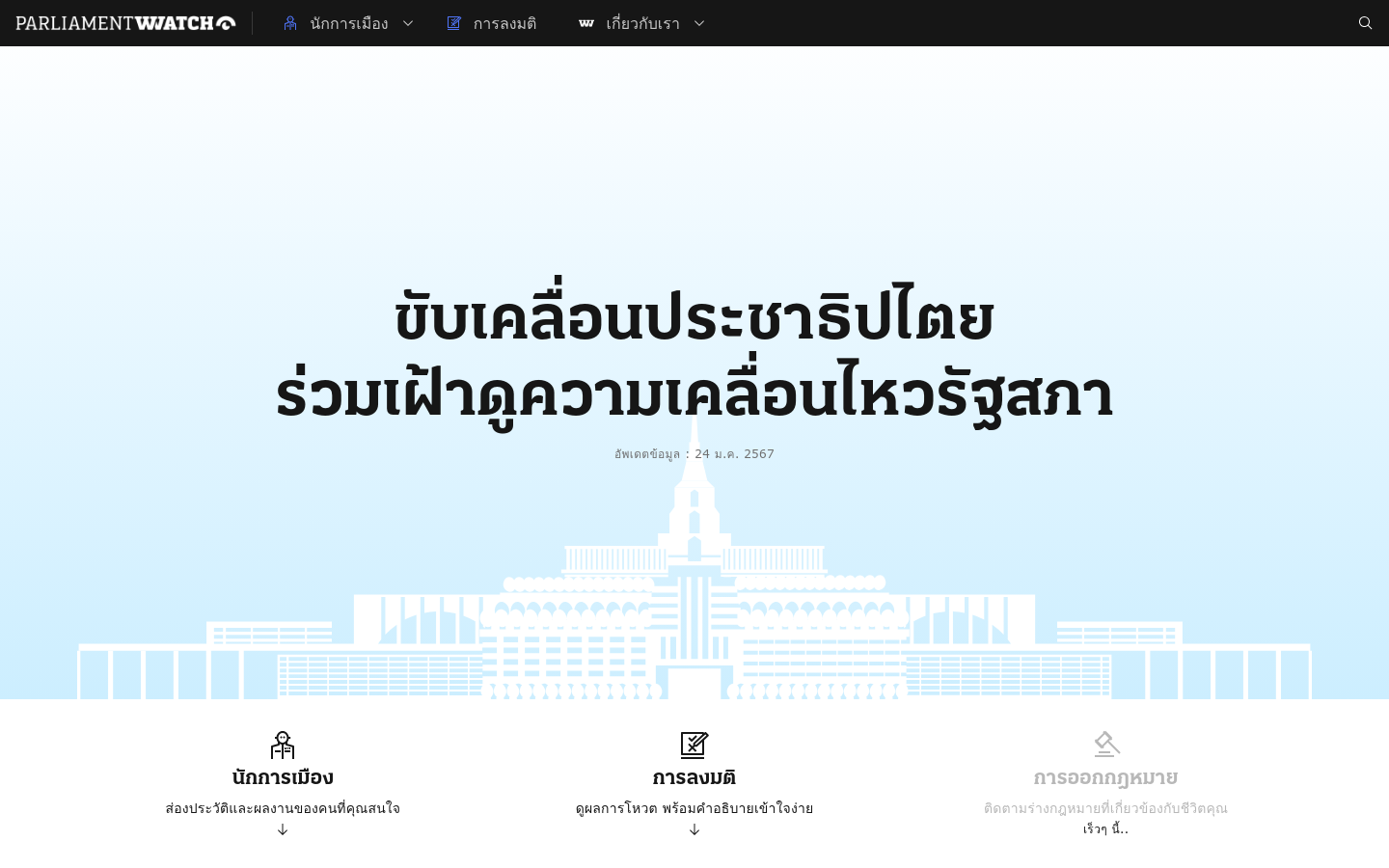
Parliament Watch (Thailand)
Bangkok, ThailandAn open-source comprehensive platform that serves as a one-stop solution for monitoring Thailand's parliament.

Tech4Democracy
SpainIn collaboration with the U.S. Department of State, IE University is leading Tech4Democracy, a powerful initiative to identify entrepreneurs dedicated to developing technology that will promote and protect democracy worldwide.

By Aure Schrock. Out in September. The first detailed history of Code for America that examines how democratically designed government systems can collectively improve technology's impact on society.

World Health Organization Innovation hub
Geneva, SwitzerlandWe use sustainable innovation to solve bottlenecks, accelerate impact, and improve health, focusing on the most neglected problems and people.

Festival Latinoamericano de Instalacion de Software Libre (FLISOL)
Valencia, Carabobo, VenezuelaFestival Latinoamericano de Instalacion de Software Libre (FLISOL) sede Venezuela

Vote Report India
IndiaUshahidi-powered project tracking voting irregularities in the 2009 Indian election

Sets out best practices and actions online platforms can take to implement more robust support for Human Rights Defenders under threat

CoreData.nyc is New York City’s housing and neighborhoods data hub, presented by the NYU Furman Center.

8-month pilot to test 12 computer-vision sensors across four boroughs of NYC to employ machine vision and improve street-level data collection and improve planning decisions
We use mobile technology to create scalable campaigns with immediate feedback

The trial monitoring of corruption cases program uses tech tools to improve the justice sector by making the workings of the judiciary easier to understand and scrutinize.

GovServices Monitor
NigeriaThis portal makes it easier for citizens to find information on government services and measure service levels in Nigeria.
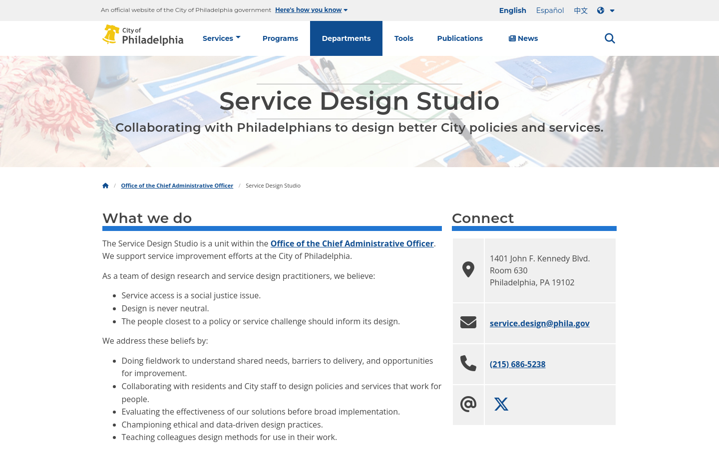
City of Philadelphia Service Design Studio
PhiladelphiaCollaborating with Philadelphians to design better City policies and services.

Checkit
Cape Town, South AfricaCheckIT is a flexible, event-based mobile inspection tool designed by VPUU to improve the delivery of essential services in Cape Town’s informal settlements.


Find out who is contesting in your Ward

CivicSpace (New America)
Chicago, ILCivicSpace focuses on building better feedback loops between residents and policymakers to build policies that improve racial and economic equity in Illinois.


Find your elected rep with GPS
San FranciscoThis free app includes information on 100 Senators, 50 State Attorney Generals, 50 Governors, 426 Congressional reps by state. And 1,964 State Senators and 5,443 State House Reps.

Climate Intelligence (CLINT)
EuropeThe CLIMATE INTELLIGENCE – alias CLINT – project (https://climateintelligence.eu/) is a European-funded project whose main objective is to develop an Artificial Intelligence framework composed of Machine Learning techniques and algorithms to process big climate datasets for improving Climate Science in the detection, causation, and attribution of Extreme Events (EEs), namely tropical cyclones, heatwaves and warm nights, droughts, floods, compound and concurrent events.

The Digital Impact Exchange
United Nations FoundationIt can be tough for government decision makers to find current, reliable information on tried-and-tested technologies. The Exchange solves that problem by serving as a one-stop shop, featuring over 500 digital tools, products and opportunities for government technology decision makers, IT developers, and product vendors.

Comunitatea Funky Citizens
RomaniaAn 2024 election info hub and civic caravan for Romanian citizens

Building spaces to grow the global conversation on environmental data access and use
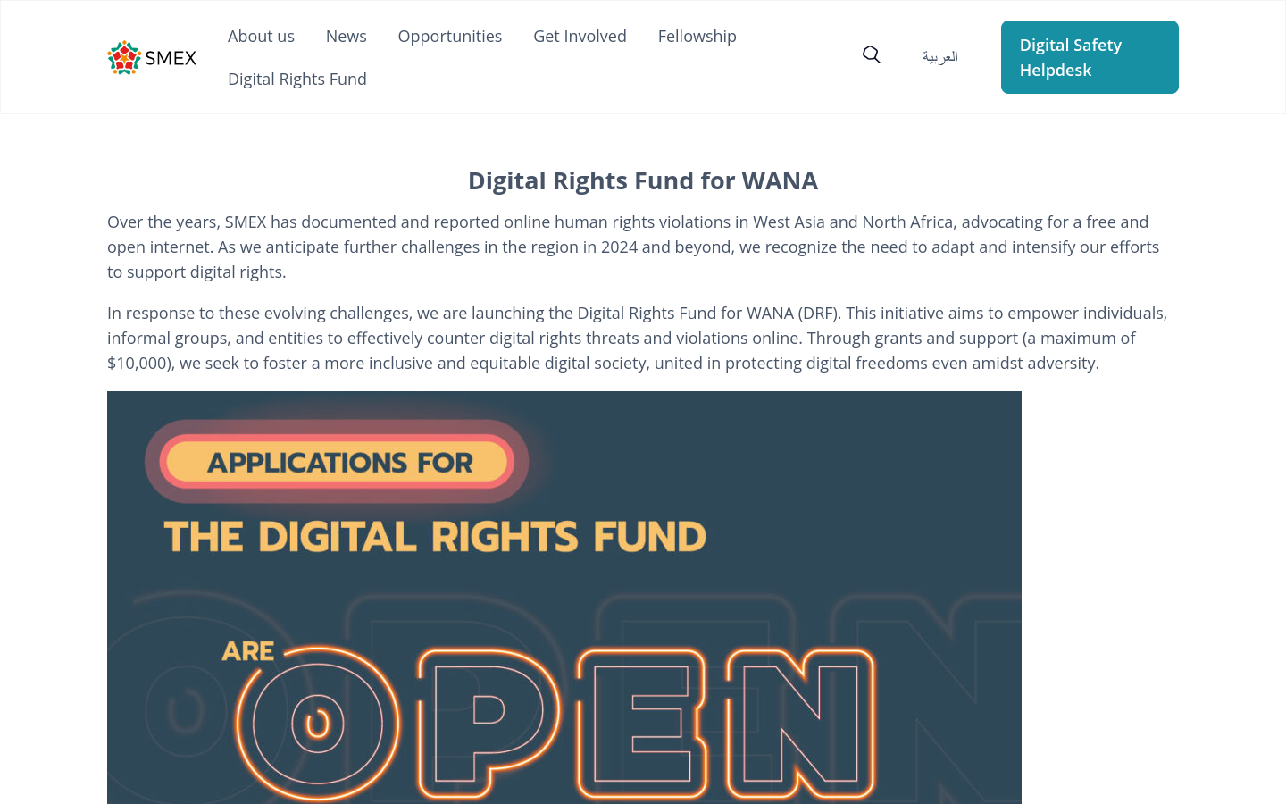
This initiative aims to empower individuals, informal groups, and entities to effectively counter digital rights threats and violations online.

The Directorate for Technology, Innovation and Partnerships is the first new NSF directorate in 30 years and "advances use-inspired and translational research in all fields of science and engineering, giving rise to new industries and engaging all Americans — regardless of background or location — in the pursuit of new, high-wage jobs in science, technology, engineering and math (STEM)."

Prototype Open Knowledge Network (Proto-OKN)
Alexandria, VASupports the creation of a prototype Open Knowledge Network — an essential public-data infrastructure to power the next information revolution.

Hotline for Israel/Palestine
United States of America (the)A texting hotline promoting education for peace

PRL’s Path to 2024 report series is a new monthly chronicle covering partisan attitudes of Americans in the lead-up to the November 2024 presidential election. Each month, we focus on a different salient issue affecting voters and analyze public attitudes from our weekly public opinion poll.

Unboxed City
Massachusetts Institute of Technology (MIT)Art exhibition at MIT: critical explorations of ai and cities

The Tiny News Collective
CaliforniaOur mission is to support the voices historically excluded from media and media ownership.

2020 UNDP initiative to assist the Republic of Vanuatu in the supervision of registration of electors and the planning and implementation of democratic elections for parliament, province, and municipal councils.

Fostering youth engagement in Tunisia

Just like how we use AI to detect sidewalks, street signs and road names in satellite imagery to display helpful information in Google Maps, we’ll also use AI to identify oil and gas infrastructure, like oil storage containers, in our imagery. Then, we’ll combine it with EDF’s information about oil and gas infrastructure to locate where the emissions are coming from.
Get email updates
Helpful Links
Reach Out
A project of

With support from
National Endowment for Democracy
Founding Organization
Civic Hall
Technology partner

 Civic Tech Field Guide