Civic Tech Field Guide
Sharing knowledge and productively growing the fieldSearch 12196 projects
Showing 12196 Results

Open Measurement Gatherings (OMG)
2025 M Street Northwest, Downtown, Washington, DC 20036, USAConvening internet measurement groups with an established practice of working in the open to collaborate and converge on best practices, methodologies, and complementary approaches for the collecting of data around internet censorship.
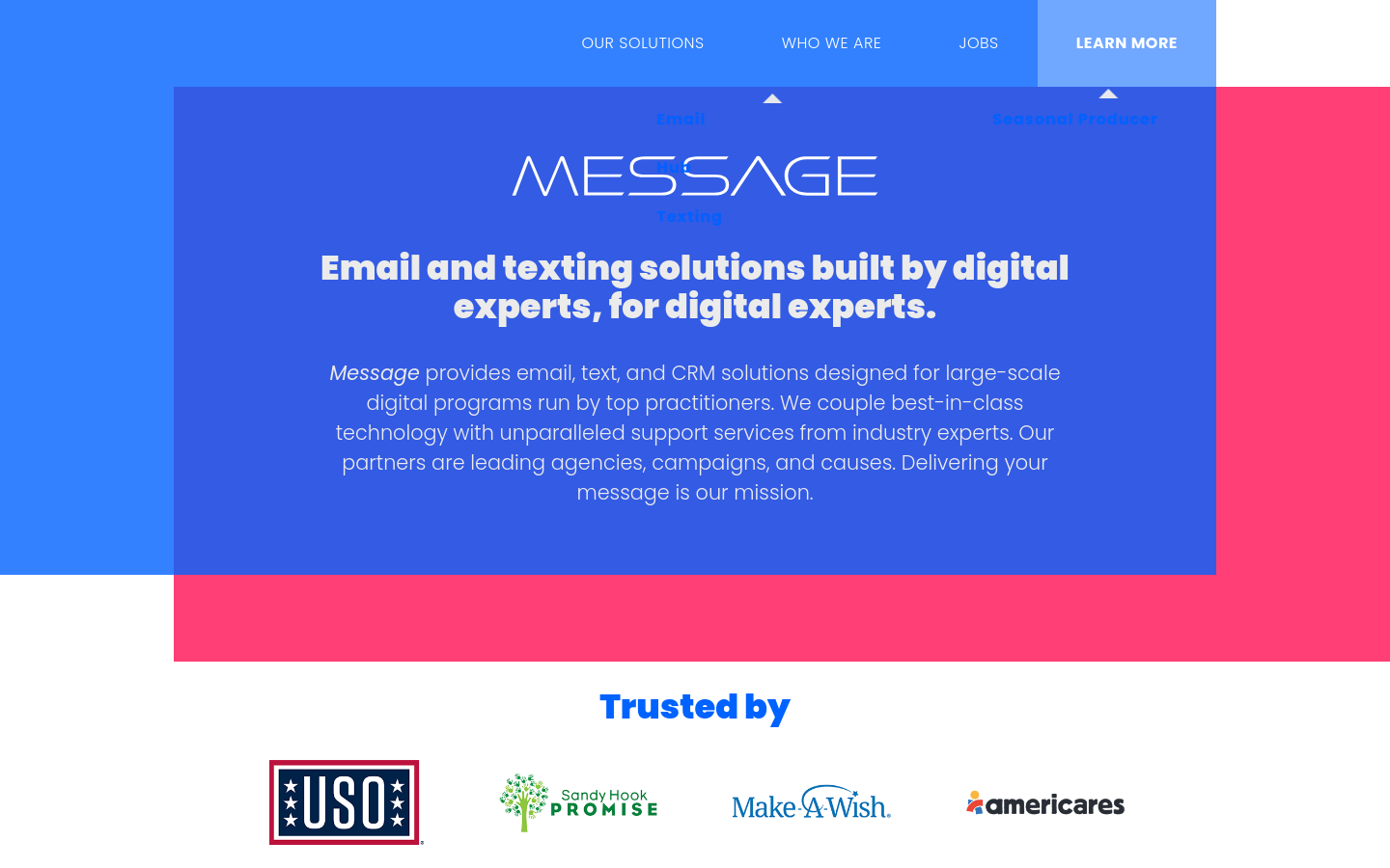
Message provides email, text, and CRM solutions designed for large-scale digital programs run by top practitioners.
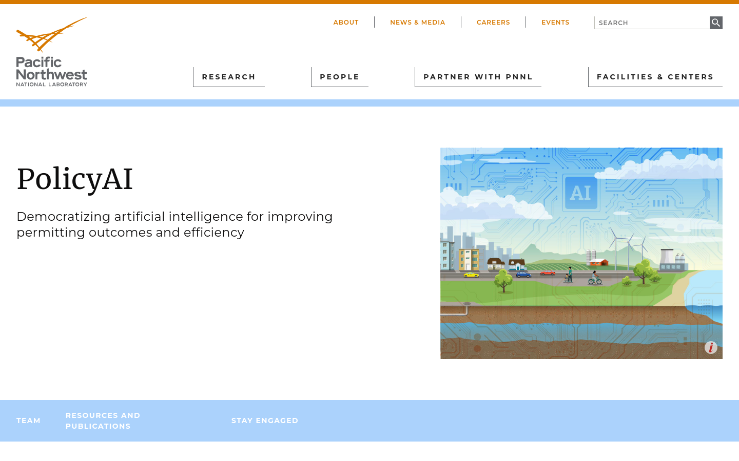
Democratizing artificial intelligence for improving permitting outcomes and efficiency
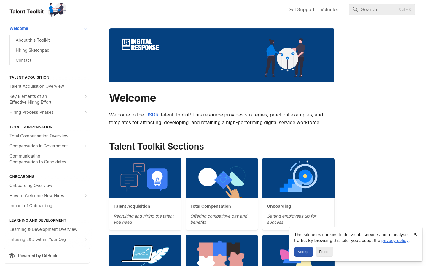
Talent Toolkit
United States of America (the)To...help governments hire more effectively, U.S. Digital Response (USDR) has actively engaged government organizations at the state, county, and city levels to optimize their talent practices and build digital capacity — and we’ve learned some things.

We estimate that UK central government conducts approximately one billion citizen-facing transactions per year in the provision of around 400 services, of which approximately 143 million are complex repetitive transactions. We estimate that 84% of these complex transactions are highly automatable.


Terner Labs
Berkeley, CA, USATerner Labs scales critical housing innovations at the intersection of equity, affordability, and sustainability.

The River Thames Water Quality Testing Group is operated by volunteers who enjoy wild swimming, paddle-boarding and boating, and are concerned about the water quality in the River Thames and the lack of up-to-date information.

EveryDoor is an OpenStreetMap editor for POIs and entrances.

Kepler.gl is a powerful open source geospatial analysis tool for large-scale data sets.

Swipe and tap. Put communities on the map. Help humanitarians find and help vulnerable people.

Transforming Flanders digitally
FlandersThe Government of Flanders is developing the digital talents of all people of Flanders. It valorises data as a raw material of the economy and society and is working on the digital transformation of public service delivery.

Tattara is a platform that enables field agents to collect data with a mobile device.

Skeptic Reader
Spain (España)Your personal bullshit🤌 detector for the Internet.

All Tech Is Human Responsible Tech University Network
New York City, NY, USAAll Tech Is Human’s mission is to grow and diversify the entire Responsible Tech community. The University Network serves that mission by extending opportunities for learning and career growth (and a good time!) to affiliated student clubs at colleges and universities across the globe.

Je Gemeente Telt
Leuven, BelgiumMaking the financial open data of Flemish local governments accessible for the many.
We’re building sustainable solutions for collecting, processing, analyzing and displaying aerial data while supporting the communities built around them.

Mark and find wheelchair accessible places — worldwide and for free. Wheelmap is the map for wheelchair accessible places

Measure from images: A unique photogrammetry software suite for mobile and drone mapping PIX4Dmapper: Photogrammetry software for professional drone mapping

FIeldTM allows for coordinating field mapping activities in Open Mapping campaigns. While there are existing field mapping applications, there is a lack of efficient tools to coordinate these activities. The FMTM builds on the HOT Tasking Manager and other mapping applications to provide a more streamlined and organized process for completing field mapping tasks.

Responsible Tech Talent Pool
New York City, NY, USAForm to add yourself to All Tech Is Human's job matching pool

The Sketch Map Tool is an easy-to-use tool for participatory sketch mapping through offline collection, digitization and georeferencing of local spatial knowledge. The tool has a variety of applications. For example, do you want to work together with people in a community to map their experience and perception of risk in their neighbourhood in a paper-based format, but still be able to quickly analyse the results digitally? Then, the Sketch Map Tool is exactly what you need!


This app finds missing map data in your vicinity and displays it on a map as quests. Solve each quest by visiting the location on-site and answering a simple question to update the map.

SurveyCTO is a mobile data collection platform for researchers and professionals working in offline settings.
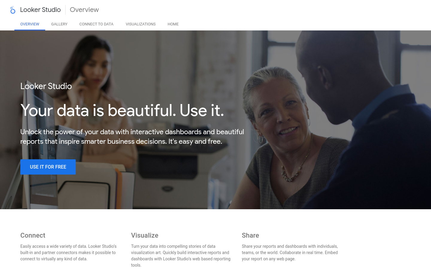
Formerly Google Studio. Unlock the power of your data with interactive dashboards and beautiful reports that inspire smarter business decisions. It's easy and free.
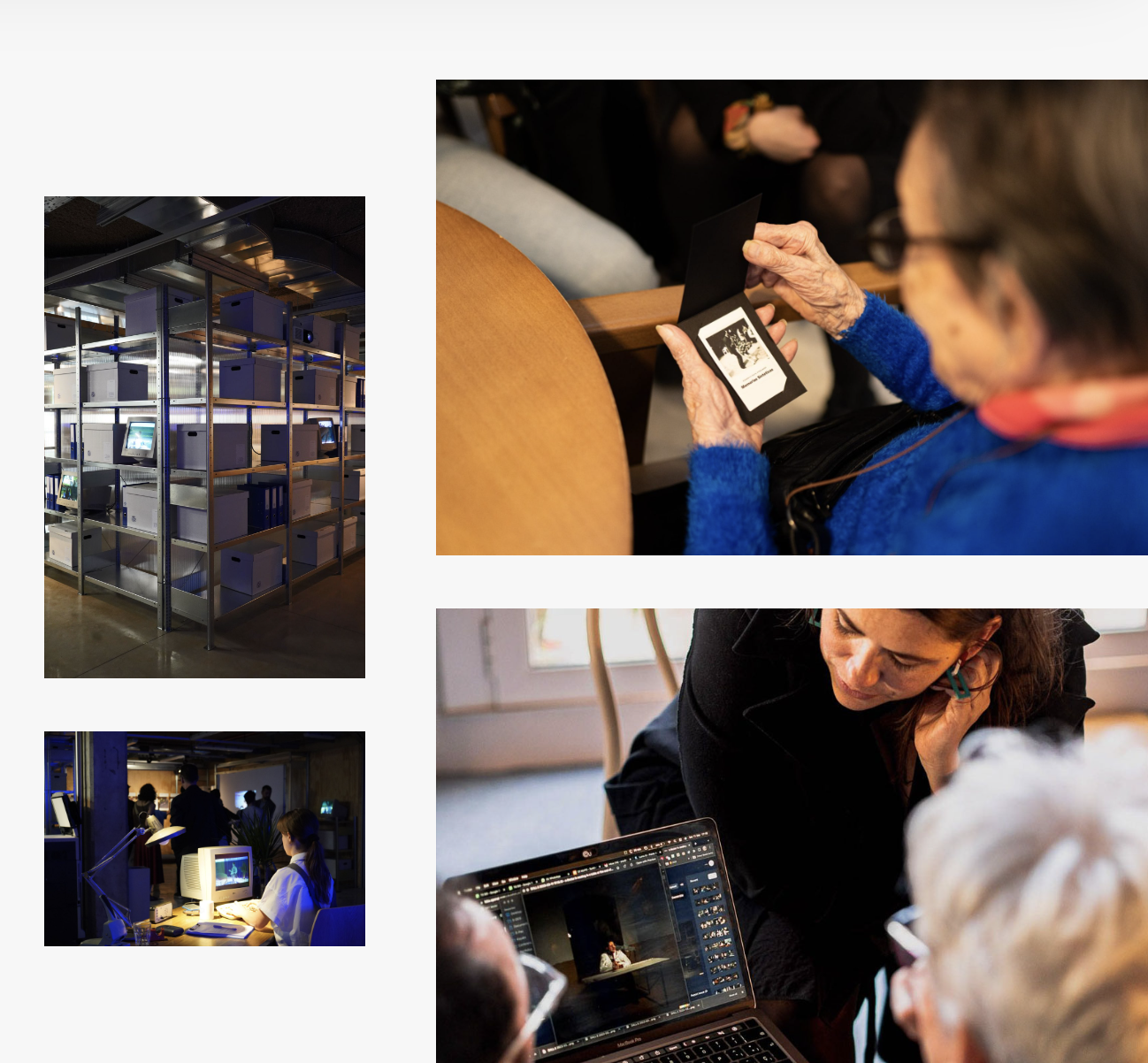
Synthetic Memories
Barcelona, Spainan initiative aimed at recovering lost or undocumented visual memories using AI image generation.

Mapeo is a free, easy-to-use, open source set of tools for collecting and mapping information. Mapeo was built by Digital Democracy with and for earth defenders to easily document environmental & human rights information and to collect data about their land. It was designed to work in entirely offline environments, is highly customizable, and built on a decentralized peer-to-peer database that allows communities to own their own data.

Ona Data is our flagship mobile data collection platform, used by thousands of organizations globally for data collection and real-time monitoring.
Access street-level imagery and map data from all over the world. Fill in the gaps by capturing coverage yourself.

Field Papers is a tool to help you create a multi-page atlas of anywhere in the world. Once you print it, you can take it outside, into the field, to record notes and observations about the area you're looking at, or use it as your own personal tour guide in a new city.

MapRoulette has dozens of mapping Challenges that are created by experienced mappers. Each Challenge is about improving OSM in one very specific way

Funded by the European Commission Directorate-General for Structural Reform Support (DG REFORM) and implemented by UNESCO, this project supports the Flemish government in implementing reforms by contributing to the improved AI-readiness and increased adoption of AI across the Flemish public administrations in a safe and ethical manner.

Healthsites.io establishes this data and the tools necessary to upload, manage and make the data easily accessible.
Africa Law Tech Festival
NairobiThe Africa Law Tech Festival is the largest Law and Tech conference in Africa, convening over 2000 delegates from 40+ countries.

The Export Tool is an open service that creates customized extracts of up-to-date OSM data in various file formats.

Rapid integrates advanced mapping tools, authoritative geospatial open data, and cutting-edge technology to empower OpenStreetMap mappers at all levels to get started quickly, making accurate and fresh edits to maps.

StoryMapJS is a free tool to help you tell stories on the web that highlight the locations of a series of events. Tells a story based on a series of singular point locations.

Turn-by-turn navigation, OpenStreetMap, Crowd-Sourced Traffic, 3D maps, Satellite maps, Offline maps and Transit. Entirely free.

Responsible Tech Organizations
New York City, NY, USAAll Tech Is Human's Airtable of 600+ organizations

ODK Collect is an open source Android app that replaces paper forms used in survey-based data gathering. It supports a wide range of question and answer types, and is designed to work well without network connectivity.

We initially designed it as a decision support tool for humanitarian mappers. Now it has grown in functionality and use cases. Whether you work in disaster management, build a smart city, or perform research on climate change, Disaster Ninja can help you in a number of ways (see more info on website).

Cali Cómo Vamos
CaliCali Cómo Vamos es un programa de seguimiento y evaluación de la calidad de vida en la ciudad, tiene como referencia el Programa “Bogotá Cómo Vamos”, adelantado desde 1998 por iniciativa de la Casa Editorial El Tiempo, la Cámara de Comercio de Bogotá y la Fundación Corona.

El programa Cali Cómo Vamos, el laboratorio ciudadano Mi Cali Contrata Bien, la Unidad de Acción Vallecaucana y el observatorio Cali Visible, ponen a disposición una ruta de obtención de datos referidos a indicadores de bienestar y gestión pública de la ciudad.
Get email updates
Helpful Links
Reach Out
A project of

With support from
National Endowment for Democracy
Founding Organization
Civic Hall
Technology partner

 Civic Tech Field Guide