Civic Tech Field Guide
Sharing knowledge and productively growing the fieldSearch Results - app (1887)
Showing 1887 Results

Reach
Queens, NYThe grassroots organizing app that lets you meet people where they are.

CampaignSidekick
United States of America (the)Supercharge your ground game. Fast. Preferred GOP Vendor and Trump campaign as a client.
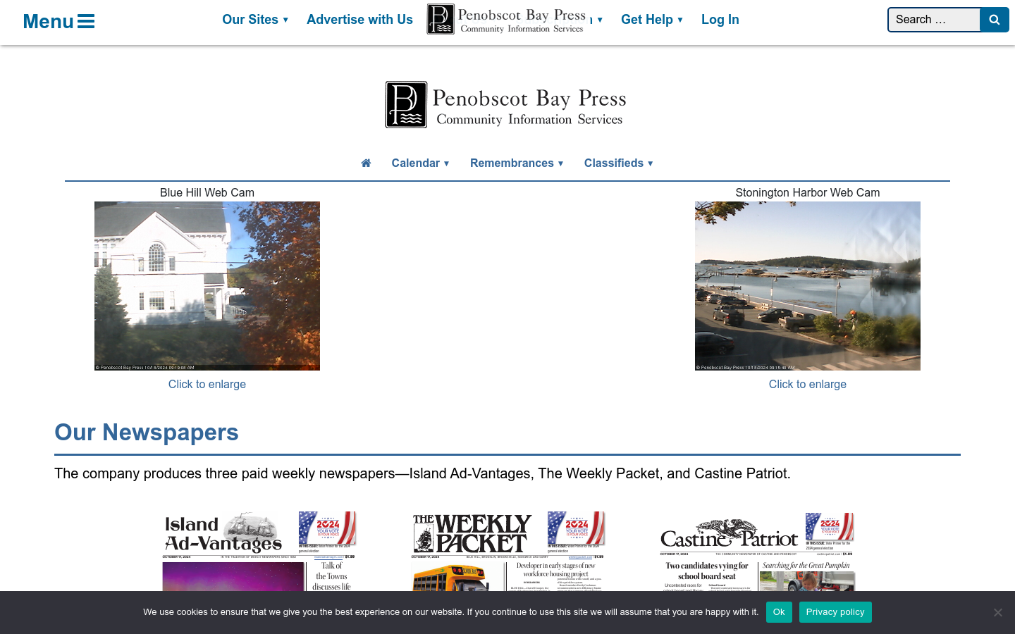
Penobscot Bay Press
Stonington, MEPenobscot Bay Press provides information products and services to the communities it serves with news of governmental, civic, business, and educational institutions; coverage of social doings and in-depth looks at individuals and events; notification of meetings and happenings; and opinions of staff and others on the important issues and problems facing its communities.
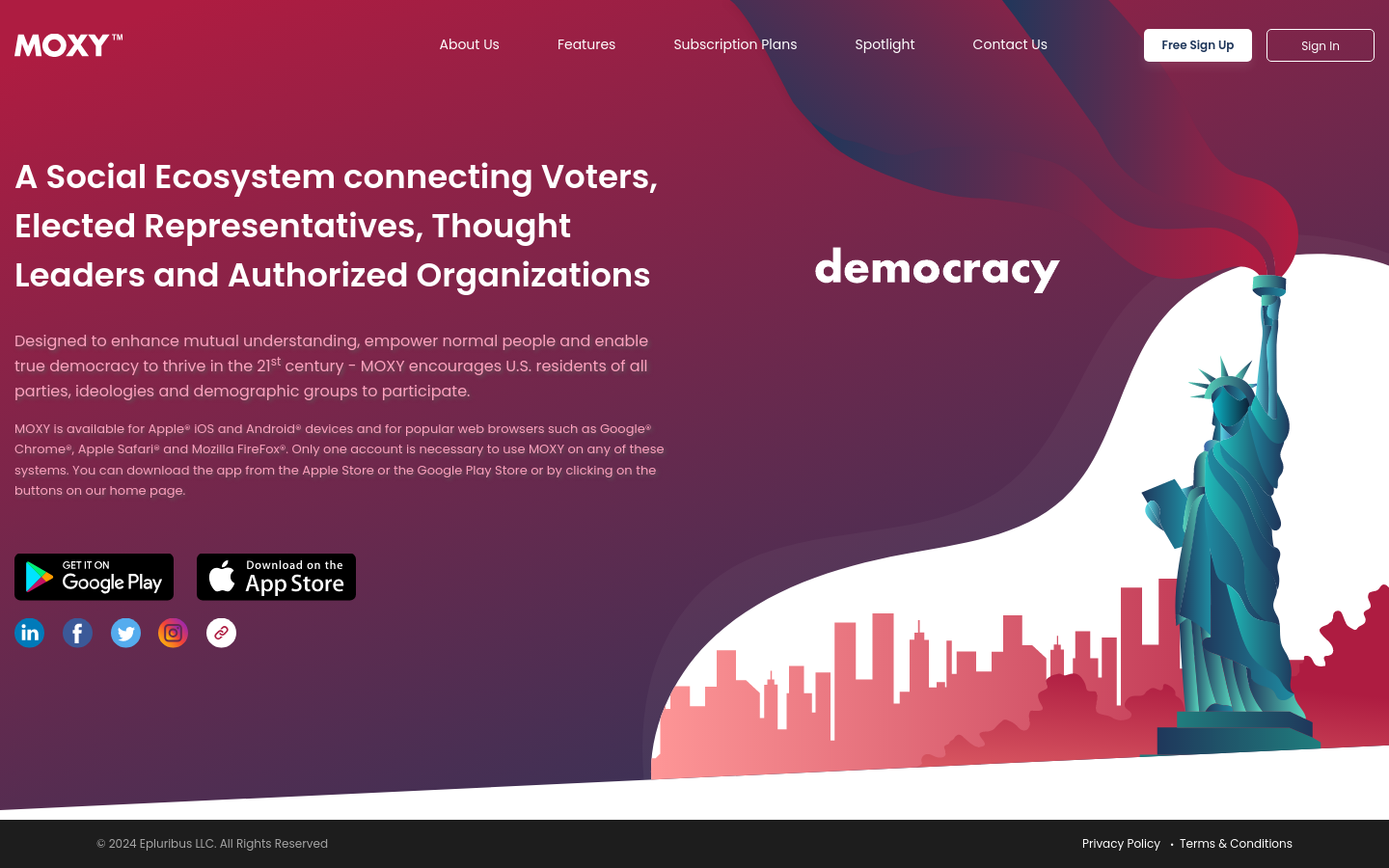
MOXY
Washington, DCA Social Ecosystem connecting Voters, Elected Representatives, Thought Leaders and Authorized Organizations

This is a collective of dedicated individuals and organizations committed to fostering ethical AI practices, encouraging research, and addressing the societal implications of AI across Africa and largely the Global South.
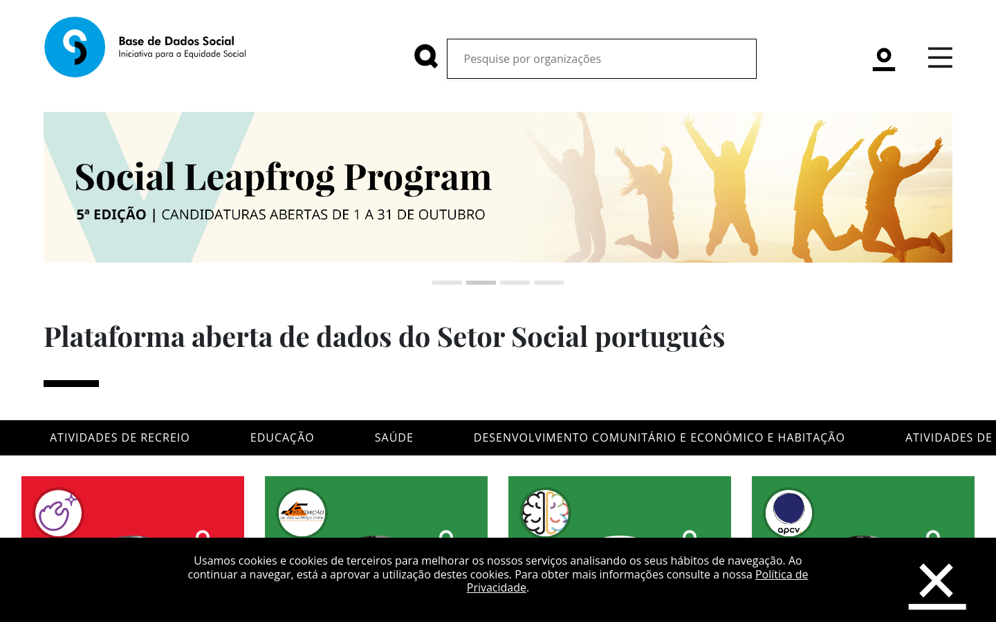
Base de Dados Social
LisbonMoved by these challenges, Nova SBE’s team, represented by the Nova SBE Data Science Knowledge Center, started mapping the social ecosystem by creating a public and easily accessible platform aimed at providing quality information in a simple, intuitive, complete, and fair way about all social and environmental impact organizations in Portugal.

2022 Inventory of Washington State Automated Decision-making Systems
Washington state, USA30 ADS govtech applications in Washington state

A modern rewrite that hopes to make it a bit easier for federal product teams to adopt, adapt, and extend the USWDS.

Centre for Digital Public Infrastructure (CDPI)
India (Bhārat)A global team of DPI builders helping countries co-design localised solutions that scale

Conservation X Labs (CXL)
Washington, DCUnlike traditional conservation efforts, Conservation X Labs focuses on leveraging the best technology, the newest innovation, interdisciplinary genius, and the power of the marketplace to boldly confront the biggest problems facing the planet.

GeoMSF Platform
Washington, DCA full suite of mapping and geodata tools developed by and for Medecins Sans Frontieres

The Midwest Newsroom
IowaThe Midwest Newsroom is a partnership among Iowa Public Radio, KCUR in Kansas City, Nebraska Public Media News, St. Louis Public Radio and NPR.

Evidence from Taliban-controlled Afghanistan shows that digital aid is a cost-effective, credible, and efficient way to reach vulnerable populations, in this case poor, tech-illiterate, female-headed households, in fragile states.

Plaza Cívica
PeruWe empower communities to actively engage with their governments in decision-making through technology, design, communication, and research, driving better public services and enhancing citizen participation in governance.
AI ARt QR codes
Sofia, BulgariaThe platform generates customized AI Art QR code images based on provided prompts


This publication aims to provide practical, actionable insights and a deep understanding of CivicTech applications to support World Bank Group projects and government initiatives, enhancing transparency, enabling public feedback, and fostering collaboration.

InOut.bot
WyomingInOut.bot uses the official WhatsApp API from Meta to send and receive your messages to/from the most popular platforms. Works with IFTTT.

デジタル空間社会連携研究機構ではIoTデバイスからのデータなどの多様でダイナミックなリアルタイム時空間ビッグデータを一元的に集約し、これらを統合した形で人々や企業の活動、交通

GovTech Maturity Index (GTMI)
Washington, DCThe GovTech Maturity Index (GTMI) was developed as part of the GovTech Initiative to introduce a measure of GovTech maturity in four focus areas — supporting core government systems, enhancing service delivery, mainstreaming citizen engagement, and fostering GovTech enablers— and to assist practitioners in the design of new digital transformation projects.

"Nevada plans to launch a generative AI system powered by Google that will analyze transcripts of unemployment appeals hearings and issue recommendations to human referees about whether or not claimants should receive benefits."
YoMobi
Johannesburg, South AfricaYoMobi is a digital platform cooperative that empowers youth organisations by providing tools for skill development, learning, and community engagement to tackle youth unemployment and enhance socio-economic inclusion.

Google Research is applying AI to satellite and aerial imagery to build a Heat Resilience tool, helping cities understand how to reduce surface temperatures through planting trees or using highly-reflective surfaces, like cool roofs.

Empurrando Juntas
São PauloFree tool to gather opinions and simplify participation.

Open Measurement Gatherings (OMG)
2025 M Street Northwest, Downtown, Washington, DC 20036, USAConvening internet measurement groups with an established practice of working in the open to collaborate and converge on best practices, methodologies, and complementary approaches for the collecting of data around internet censorship.

We estimate that UK central government conducts approximately one billion citizen-facing transactions per year in the provision of around 400 services, of which approximately 143 million are complex repetitive transactions. We estimate that 84% of these complex transactions are highly automatable.


Field Papers is a tool to help you create a multi-page atlas of anywhere in the world. Once you print it, you can take it outside, into the field, to record notes and observations about the area you're looking at, or use it as your own personal tour guide in a new city.

MapRoulette has dozens of mapping Challenges that are created by experienced mappers. Each Challenge is about improving OSM in one very specific way

Funded by the European Commission Directorate-General for Structural Reform Support (DG REFORM) and implemented by UNESCO, this project supports the Flemish government in implementing reforms by contributing to the improved AI-readiness and increased adoption of AI across the Flemish public administrations in a safe and ethical manner.

Mapeo is a free, easy-to-use, open source set of tools for collecting and mapping information. Mapeo was built by Digital Democracy with and for earth defenders to easily document environmental & human rights information and to collect data about their land. It was designed to work in entirely offline environments, is highly customizable, and built on a decentralized peer-to-peer database that allows communities to own their own data.
Africa Law Tech Festival
NairobiThe Africa Law Tech Festival is the largest Law and Tech conference in Africa, convening over 2000 delegates from 40+ countries.

The Export Tool is an open service that creates customized extracts of up-to-date OSM data in various file formats.

This app finds missing map data in your vicinity and displays it on a map as quests. Solve each quest by visiting the location on-site and answering a simple question to update the map.
Access street-level imagery and map data from all over the world. Fill in the gaps by capturing coverage yourself.

The Sketch Map Tool is an easy-to-use tool for participatory sketch mapping through offline collection, digitization and georeferencing of local spatial knowledge. The tool has a variety of applications. For example, do you want to work together with people in a community to map their experience and perception of risk in their neighbourhood in a paper-based format, but still be able to quickly analyse the results digitally? Then, the Sketch Map Tool is exactly what you need!
Je Gemeente Telt
Leuven, BelgiumMaking the financial open data of Flemish local governments accessible for the many.
We’re building sustainable solutions for collecting, processing, analyzing and displaying aerial data while supporting the communities built around them.

Kepler.gl is a powerful open source geospatial analysis tool for large-scale data sets.

EveryDoor is an OpenStreetMap editor for POIs and entrances.

Swipe and tap. Put communities on the map. Help humanitarians find and help vulnerable people.

Turn-by-turn navigation, OpenStreetMap, Crowd-Sourced Traffic, 3D maps, Satellite maps, Offline maps and Transit. Entirely free.

ODK Collect is an open source Android app that replaces paper forms used in survey-based data gathering. It supports a wide range of question and answer types, and is designed to work well without network connectivity.

We initially designed it as a decision support tool for humanitarian mappers. Now it has grown in functionality and use cases. Whether you work in disaster management, build a smart city, or perform research on climate change, Disaster Ninja can help you in a number of ways (see more info on website).

StoryMapJS is a free tool to help you tell stories on the web that highlight the locations of a series of events. Tells a story based on a series of singular point locations.
Rapid integrates advanced mapping tools, authoritative geospatial open data, and cutting-edge technology to empower OpenStreetMap mappers at all levels to get started quickly, making accurate and fresh edits to maps.

Measure from images: A unique photogrammetry software suite for mobile and drone mapping PIX4Dmapper: Photogrammetry software for professional drone mapping

FIeldTM allows for coordinating field mapping activities in Open Mapping campaigns. While there are existing field mapping applications, there is a lack of efficient tools to coordinate these activities. The FMTM builds on the HOT Tasking Manager and other mapping applications to provide a more streamlined and organized process for completing field mapping tasks.

Mark and find wheelchair accessible places — worldwide and for free. Wheelmap is the map for wheelchair accessible places
Get email updates
Helpful Links
Reach Out
A project of

With support from
National Endowment for Democracy
Founding Organization
Civic Hall
Technology partner

 Civic Tech Field Guide