Civic Tech Field Guide
Sharing knowledge and productively growing the fieldSearch Results - ty (4987)
Showing 4987 Results

The Bank launched GovTech Working Groups to provide thought leadership, facilitate the exchange of ideas, and support the development of sound GovTech solutions. Community building and impact-driven collaboration are the core objectives of this initiative.

Earth Fire Alliance
United States of America (the)Earth Fire Alliance is a global, community-led, non-profit coalition aligned to deliver transformative real-time data from all fires on Earth.

FireBench is the largest high-fidelity wildfire simulation dataset, enabling the generation of ensembles of fire evolution scenarios and combining observational environmental data with high-fidelity simulations.

An open database of conversations ChatGPT had with people who believe in a variety of conspiracy theories, which can be filtered by the efficacy of the conversation in changing beliefs.

Why grassroots data activists in Latin America count feminicide—and how this vital social justice work challenges mainstream data science.

Automating (In)Justice: An Adversarial Audit of RisCanvi
Catalonia (Spain)Eticas Foundation's adversarial audit of an AI-powered criminal justice tool, RisCanvi, that has been used in Catalonia since 2009 finds it "does not meet the required standards of reliability and fairness."

Empowering Indigenous Communities: Land Alienation in Tripura and Restoration through ICT Initiatives
India (Bhārat)Through a comprehensive analysis of various ICT projects, this study examines the success and challenges of using technology to protect and restore land rights.

US Open Government Federal Advisory Committee
GSA (General Services Administration), F Street Northwest, Washington, DC, USAThey will play a critical role in the collaboration of the U.S. National Action Plan for Open Government (NAP 6) and support for broader open government initiatives.

The Tech Coup: How to Save Democracy from Silicon Valley
United States of America (the)An insider offers a “forceful critique...of Big Tech's steady erosion of democracy” (The New Yorker) and describes what must be done to stop it

Technology & Racial Justice Collaborative (TRJC)
New York CityLaw enforcement agencies are increasingly using surveillance tools, predictive technologies, and automated decision-making systems that impose a disproportionate burden on communities historically impacted by systemic bias.
YoMobi
Johannesburg, South AfricaYoMobi is a digital platform cooperative that empowers youth organisations by providing tools for skill development, learning, and community engagement to tackle youth unemployment and enhance socio-economic inclusion.

Copbot
United Kingdom of Great Britain and Northern Ireland (the)A prototype project that aims to help understand how AI models and humans differ in their perception of risk.
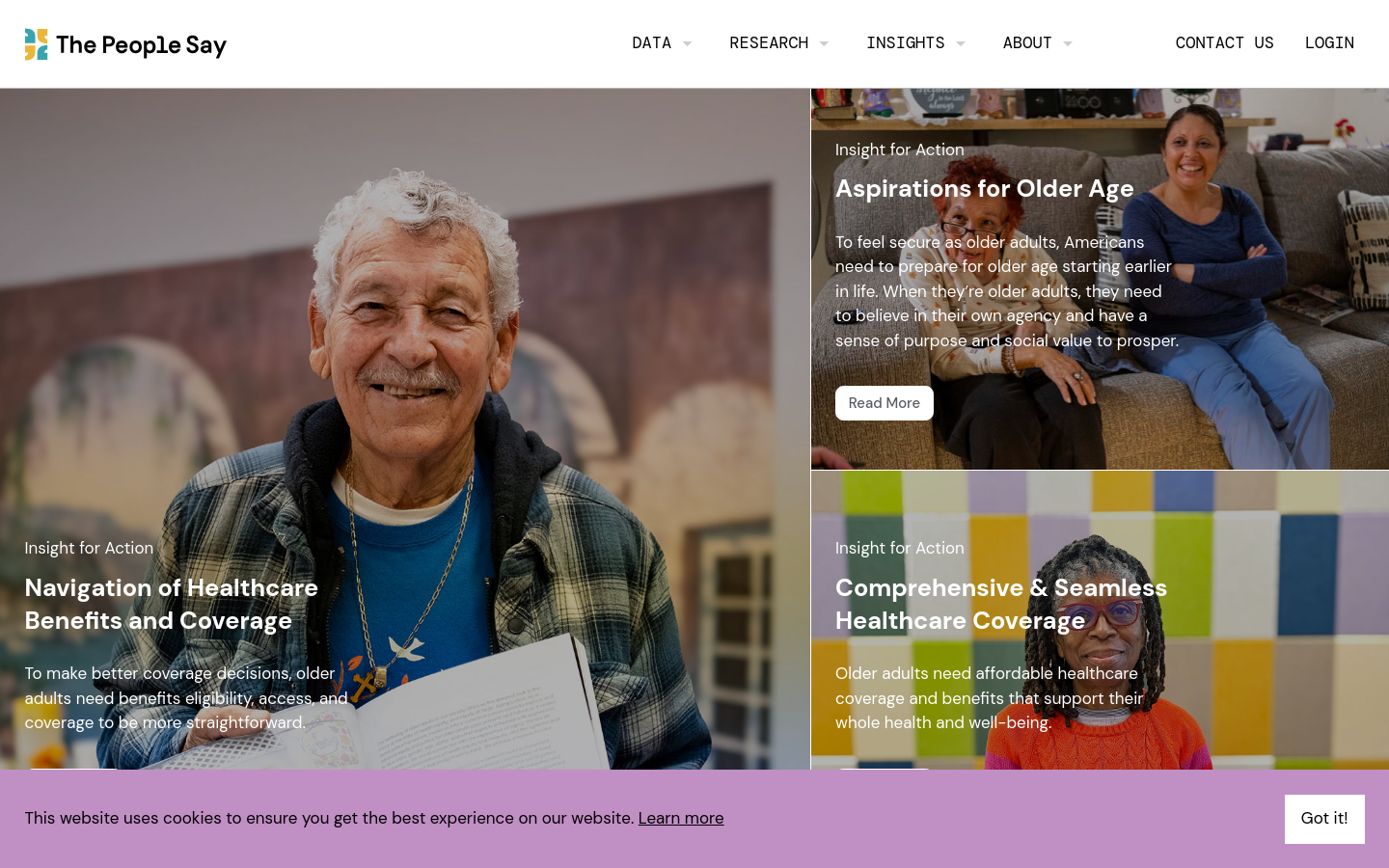
The People Say
20 Jay Street, Suite 203 Brooklyn, NY 11201 USAA qualitative research database featuring excerpts from 100+ hours of interviews with older adults talking about the issues most important to them.

Google Research is applying AI to satellite and aerial imagery to build a Heat Resilience tool, helping cities understand how to reduce surface temperatures through planting trees or using highly-reflective surfaces, like cool roofs.

OpenGovLoc
Cameroon (Cameroon, Cameroun)OpenGovLoc, a digital transformation project, is a scaling-up operation in 4 priority municipalities and the involvement of 20 other municipalities in the use of digital technology to promote accountability and local participation led by young people.
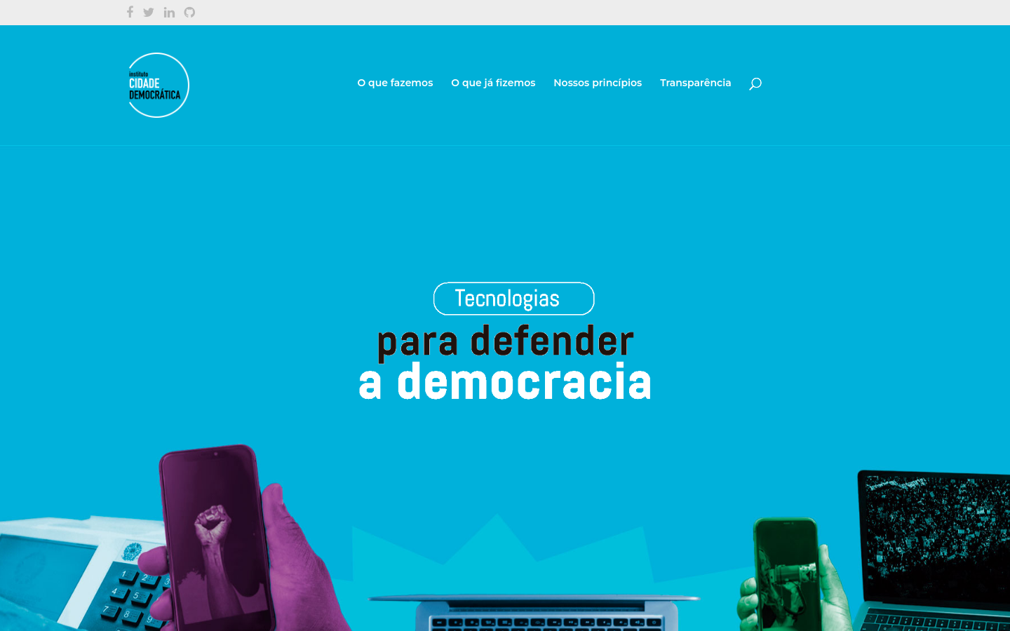
Instituto Cidade Democrática
São PauloCivil society organization that strengthens democracy through digital listening tools and participatory processes.

Open Measurement Gatherings (OMG)
2025 M Street Northwest, Downtown, Washington, DC 20036, USAConvening internet measurement groups with an established practice of working in the open to collaborate and converge on best practices, methodologies, and complementary approaches for the collecting of data around internet censorship.
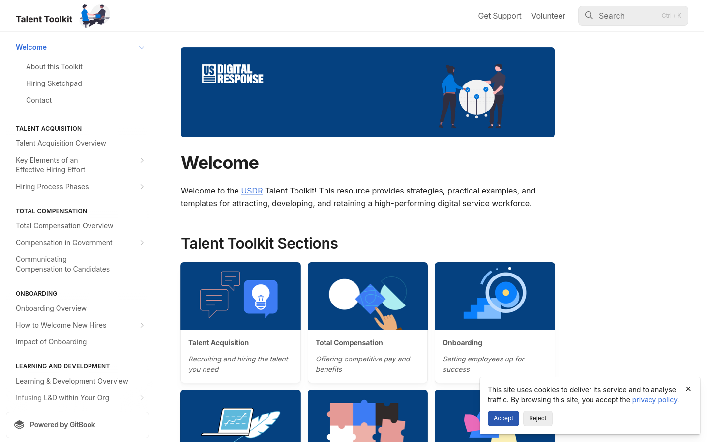
Talent Toolkit
United States of America (the)To...help governments hire more effectively, U.S. Digital Response (USDR) has actively engaged government organizations at the state, county, and city levels to optimize their talent practices and build digital capacity — and we’ve learned some things.

Terner Labs
Berkeley, CA, USATerner Labs scales critical housing innovations at the intersection of equity, affordability, and sustainability.

The River Thames Water Quality Testing Group is operated by volunteers who enjoy wild swimming, paddle-boarding and boating, and are concerned about the water quality in the River Thames and the lack of up-to-date information.

Transforming Flanders digitally
FlandersThe Government of Flanders is developing the digital talents of all people of Flanders. It valorises data as a raw material of the economy and society and is working on the digital transformation of public service delivery.

This app finds missing map data in your vicinity and displays it on a map as quests. Solve each quest by visiting the location on-site and answering a simple question to update the map.

ODK Collect is an open source Android app that replaces paper forms used in survey-based data gathering. It supports a wide range of question and answer types, and is designed to work well without network connectivity.

We initially designed it as a decision support tool for humanitarian mappers. Now it has grown in functionality and use cases. Whether you work in disaster management, build a smart city, or perform research on climate change, Disaster Ninja can help you in a number of ways (see more info on website).

The Sketch Map Tool is an easy-to-use tool for participatory sketch mapping through offline collection, digitization and georeferencing of local spatial knowledge. The tool has a variety of applications. For example, do you want to work together with people in a community to map their experience and perception of risk in their neighbourhood in a paper-based format, but still be able to quickly analyse the results digitally? Then, the Sketch Map Tool is exactly what you need!

Cali Cómo Vamos
CaliCali Cómo Vamos es un programa de seguimiento y evaluación de la calidad de vida en la ciudad, tiene como referencia el Programa “Bogotá Cómo Vamos”, adelantado desde 1998 por iniciativa de la Casa Editorial El Tiempo, la Cámara de Comercio de Bogotá y la Fundación Corona.

Funded by the European Commission Directorate-General for Structural Reform Support (DG REFORM) and implemented by UNESCO, this project supports the Flemish government in implementing reforms by contributing to the improved AI-readiness and increased adoption of AI across the Flemish public administrations in a safe and ethical manner.

El programa Cali Cómo Vamos, el laboratorio ciudadano Mi Cali Contrata Bien, la Unidad de Acción Vallecaucana y el observatorio Cali Visible, ponen a disposición una ruta de obtención de datos referidos a indicadores de bienestar y gestión pública de la ciudad.

Field Papers is a tool to help you create a multi-page atlas of anywhere in the world. Once you print it, you can take it outside, into the field, to record notes and observations about the area you're looking at, or use it as your own personal tour guide in a new city.

Tella
GlobalTella is a mobile tool designed for activists, human rights defenders, and journalists facing high levels of repression and surveillance. With Tella, users can seamlessly hide and encrypt sensitive material in a secure container on their mobile device and securely send this material to the servers of the organization or partner they're working with.

Surveillance Watch is an interactive map that documents the hidden connections within the opaque surveillance industry.

Domestic Data Streamers
Carrer Papin 33, 08028 Barcelona, SpainWe are a research and design studio partnering up with organisations to build change through data, community, and arts.

DEMOCRACY X
Denmark (Danmark)In 2023, the Danish Board of Technology and ParticipationDenmark merged. We are now called DEMOCRACY X, with a focus on technology, society and sustainability.

Tech for Democracy
Denmark (Danmark)Tech for Democracy is a Danish-led initiative that brings together representatives from governments, multilateral organisations, tech industry and civil society to make technology work for democracy and human rights, not against them.

Open Government for Stronger Democracies
OECD, Rue André Pascal, Paris, FranceAn OECD global assessment of countries' implementation of its 2017 Recommendation on Open Government

Launched by a collaborative effort between DataKind, Save the Children, and Microsoft, the Humanitarian Data Insights Project (HDIP) harnesses the power of generative AI to streamline data from multiple sources, making it accessible and interpretable for humanitarian workers at all levels of data maturity.


We are a group of security practitioners helping NGOs, human rights defenders, media outlets, and activists.

"According to a release from the lawmakers, the legislation would “create a pathway for independent evaluators, with a function similar to those in the financial industry and other sectors, to work with companies as a neutral third-party to verify their development, testing, and use of AI is in compliance with established guardrails.”"

Counting trucks for environmental justice

Metroverse, an interactive tool built by Harvard’s Growth Lab, makes it possible to understand your city’s economy and compare it to others.
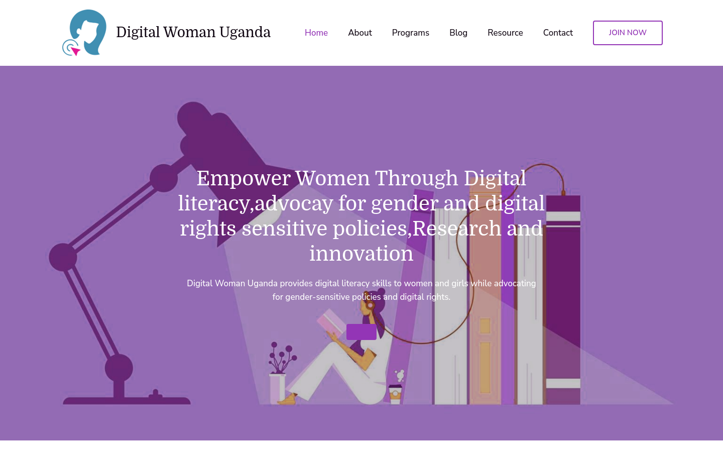
Digital Woman Uganda
UgandaDigital Woman Uganda provides digital literacy skills to women and girls while advocating for gender-sensitive policies and digital rights.

Data Zetu
United Republic of Tanzania (Jamhuri ya Muungano wa Tanzania)This project is using geospatial technology to solve the climate mobility data gap and inform required food security and planning interventions.

Radiant Earth
Washington, DCIncreasing shared understanding of our world through community-led initiatives that make data easier to access and use.

Need a logo designed, a usability study, or an interface-facelift? Our diverse community and extended network have got you covered.
A Visual Guide to the Influencers Shaping the 2024 Election
United States of America (the)From Hasan Piker to Logan Paul, this interactive display maps how online personalities on the right and the left are using their massive followings to influence the US election.

SmartRR is a virtual one stop shop for Gender Based Violence and Sexual Reproductive Health. We are committed to creating a safer, more supportive world for survivors and adolescent girls.
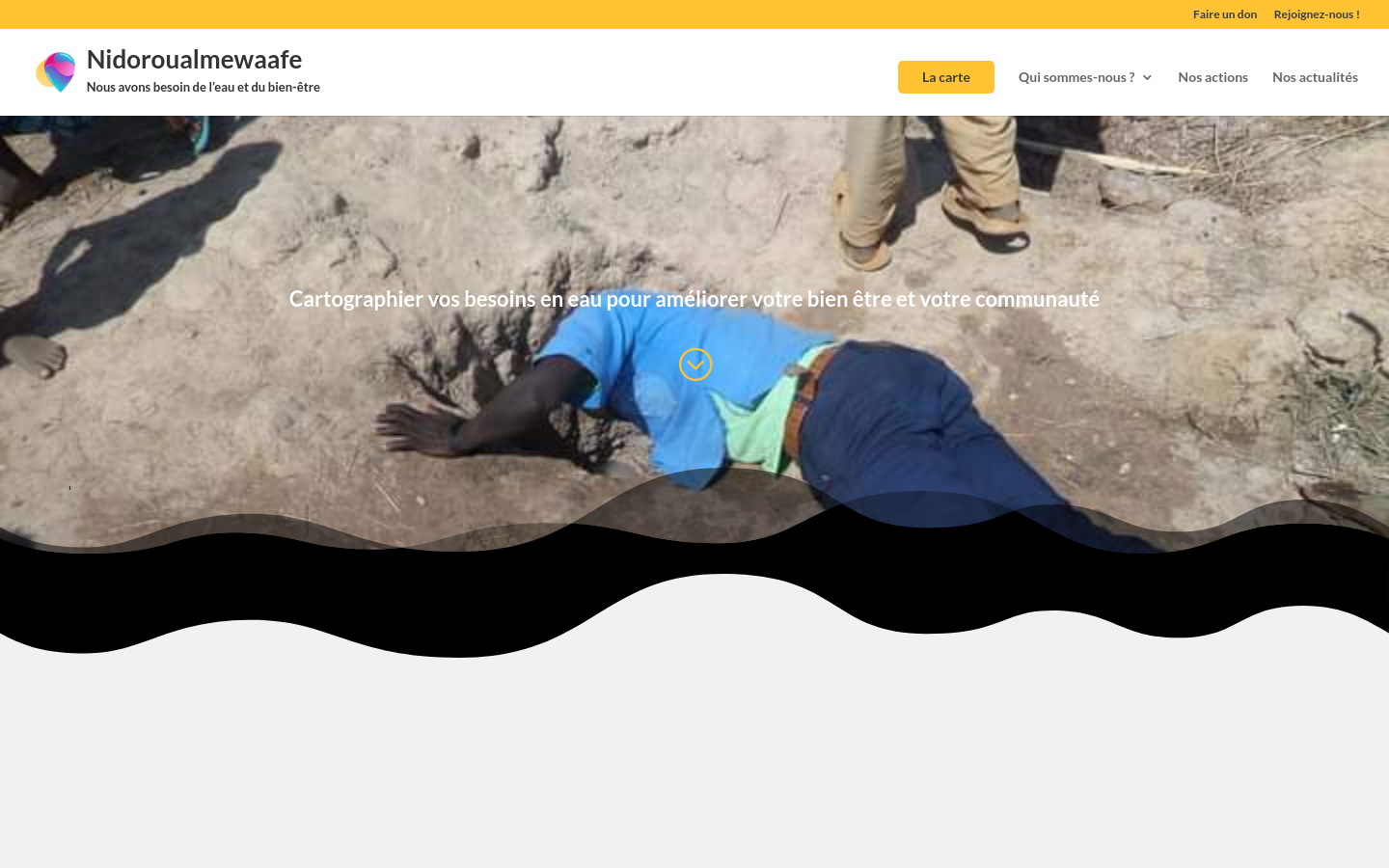
NIDOROUALMEwaAFE
Chad (Tchad)Using GPS mapping technology, Nidoroualmewaafe identifies areas that do not have access to safe drinking water and shares this information with local authorities and communities to inform decision-making.

Advokc.ng
LagosAdvoKC is a dynamic, youth-led civic technology organization established with a steadfast commitment to fostering transparency, accountability, and positive change in governance.

Civic Tech in Africa podcast
Johannesburg, South AfricaCivic Tech in Africa with Nathi Mcetywa is a podcast by the Civic Tech Innovation Network. The podcast focuses on the profiling of civic tech initiatives, civic innovators, activists, researchers, social entrepreneurs and others working in the civic tech and other related fields in Africa.
Get email updates
Helpful Links
Reach Out
A project of

With support from
National Endowment for Democracy
Founding Organization
Civic Hall
Technology partner

 Civic Tech Field Guide