Civic Tech Field Guide
Sharing knowledge and productively growing the fieldSearch Results - map (656)
Showing 656 Results

Karachi Chal
KarachiYour AI based Itinerary planner for the City of lights.

FloodLight
PakistanA Code for Pakistan initiative to Crowdsource the flood-related data from the 2022 Floods in Pakistan.

There have been over 40 recent bans of the rainbow flag. The Gilbert Baker Foundation and the American Civil Liberties Union (ACLU) Are Fighting Back.

Through powerful personal narratives and comprehensive data, Global Press Journal shares the untold stories of 11 courageous, local journalists and activists across the globe.

Falling Fruit
Boulder, COFalling Fruit is a massive, collaborative map of the urban harvest.

U_Code
DresdenThe Horizon 2020 project U_CODE (Urban Collective Design Environment) aims to create an environment for urban co-design.

Voteview
Los Angeles, CAVoteview allows users to view every congressional roll call vote in American history on a map of the United States and on a liberal-conservative ideological map including information about the ideological positions of voting Senators and Representatives.
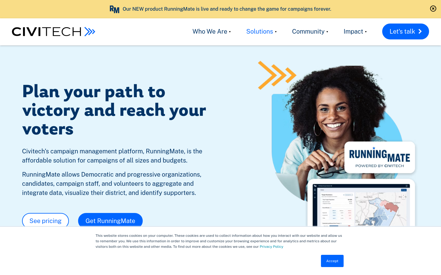
RunningMate
Austin, TXCivitech’s campaign management platform, RunningMate, is the affordable solution for campaigns of all sizes and budgets.

mxDistritos
Mexico City, CDMX, MexicoThe repository contains maps of Mexican districts used to elect representatives to various offices and code for data systematization and analysis

Bangladesh Open Innovation Lab (BOIL)
Dhaka, BangladeshOur aim is to build a community that supports the Open Data and uptake of the Living Lab paradigm.

AI Intersections Database
Mozilla, East Evelyn Avenue, Mountain View, CA, USAThis database by Mozilla Foundation maps intersections between the key social justice and human rights areas of our time and documented AI impacts and their manifestations in society.

Vote Report India
India (Bhārat)Ushahidi-powered project tracking voting irregularities in the 2009 Indian election

Spatial Equity NYC
Massachusetts Institute of Technology (MIT)Spatial Equity NYC (SE), a tool developed by MIT’s Norman B. Leventhal Center for Advanced Urbanism (LCAU) in close collaboration with New York City-based nonprofit Transportation Alternatives (TA), visualizes mobility, environment, and health data.

CoreData.nyc is New York City’s housing and neighborhoods data hub, presented by the NYU Furman Center.

The trial monitoring of corruption cases program uses tech tools to improve the justice sector by making the workings of the judiciary easier to understand and scrutinize.

Civic X Syllabus is a roadmap to learning about civic research, civic data, civic tech, and civic design.
![Is your [UK] council fuelling the climate crisis?](https://s3.us-east-1.amazonaws.com/ctfg-airtable/screenshots/rec2opTaK3Yl8q3aE/httpsplatformlondonorgisyourcoun)
Divestment campaign targeting local councils investing in fossil fuel companies

OpenPV
Germany (Deutschland)Currently a solar potential look-up tool for the German state of Bavaria. "We support the roll-out of more photovoltaic roof systems."

FedGeoDay
Washington, DCFedGeoDay is THE event devoted to "open geospatial ecosystems" (open source software, open/collaborative mapping, open science challenges, and open engagements) that are used to initiate and grow capabilities across the U.S. federal government.

Google MethaneSAT partnership
United States of America (the)Just like how we use AI to detect sidewalks, street signs and road names in satellite imagery to display helpful information in Google Maps, we’ll also use AI to identify oil and gas infrastructure, like oil storage containers, in our imagery. Then, we’ll combine it with EDF’s information about oil and gas infrastructure to locate where the emissions are coming from.

Atlas of Urban AI
Barcelona, SpainATLAS is a crowdsourced (map) repository of projects happening in cities involving the use of artificial intelligence systems.

This year we assess the AI readiness of 193 governments across the world. We are also introducing an interactive map to make our data more accessible!

Postcode => Westminster constituency converter
United Kingdom of Great Britain and Northern Ireland (the)Enter a UK postcode and this tool returns the constituency it belongs to

Riseup provides online communication tools for people and groups working on liberatory social change.


PlanIt
United Kingdom of Great Britain and Northern Ireland (the)UK PlanIt is a national aggregator for current and historical planning information.

Landlord Tech Watch
United States of America (the)Campaign website explaining landlord / proptech surveillance and what tenants can do to fight back

digitize your city
Valencia, Carabobo, VenezuelaDigitize your city is a series of actions that seek to create a friendlier environment through the use of technology previously influenced by us and the data we consciously create and deliver.

Urban Analyst provides interactive maps of the properties of cities including of their transport systems and socio-demographic conditions, as well as statistical summaries of all cities.

We provide research and development to support decision making in the field of sustainable mobility and humanitarian aid. We accomplish this through open geoinformation, open methods, open software and close collaboration with our partners.

LupaMundi
Brazil (Brasil)O LupaMundi - Mapa das Legislações sobre Desinformação é um mapa interativo que apresenta as leis nacionais de combate à desinformação.

Delib Citizen Space
Orchard Street Business Centre, 13-14 Orchard Street, Bristol, BS1 5EHNext-generation engagement tools for 21st century democracy.

Water Data Explorer
LondonThe Water Data Explorer was developed by the British Geological Survey in collaboration with Imperial College London, The University of Oxford and UCL as part of the CAMELLIA project, and in partnership with a broad range of stakeholders. CAMELLIA has been funded by the UKRI's Natural Environment Research Council (NERC).


Lietuvos finansai
Lithuania (Lietuva)The website allows you to view, filter and analyze government finance data in a variety of sections and levels, from the national level, which includes aggregated (total) government, municipal, social security and monetary fund data, to detailed institution-level data.

Be šešėlio
Lithuania (Lietuva)An opportunity for every conscious member of society to contribute to the elimination of the shadow economy.

Safecity
United States of America (the)Safecity empowers communities worldwide to report and combat gender-based violence through crowd-sourced data and technology.

Hotel Oligarch
Hungary (Magyarország)Know where you spend your money - mapping politically exposed hotel & restaurant owners

igyszultem.hu
Hungary (Magyarország)Collaborative data collection map on informal payment in maternity care


Nappal hajtva
Hungary (Magyarország)Information website by Budapest municipality in order to help the population find the possibilities of solar energy

Social Explorer
New York, USAGain deep insights into any location of interest through thousands of data variables and stunning visualizations. Reinforce your decisions with Social Explorer’s reliable data mapping capabilities. Watch Videoplay_arrow
![reframe[Tech] – Algorithms for the Common Good](https://ctfg-airtable.s3.amazonaws.com/screenshots/334343.png)
reframe[Tech] – Algorithms for the Common Good
Germany (Deutschland)In the project “reframe[Tech] – Algorithms for the Common Good”, we are committed to ensuring that efforts to develop and use algorithms and artificial intelligence are more closely aligned with the common good.

tlab پایگاه شفافیت ایران
Islamic Republic of Iran (Īrān)“Transparency Lab” (tlab) is a project that aims to map existing policy and legislation in relation to transparency, corruption and accountability in Iran; to assess their strengths and weaknesses and to introduce international standards, values and policy recommendations to the discussion about transparency, corruption and accountability in the country.

The Decidim ‘soft infrastructure’: democratic platforms and technological autonomy in Barcelona
Barcelona, SpainPaper by Paolo Cardullo, Ramon Ribera-Fumaz, and Paco González Gil. "In this paper we focus on the platform’s ‘soft infrastructure’ – the network of developers, ethical hackers, academics, maintainers, advocates and activists, and city administrators but also the agreements with the city and the documentation produced – on its internal governance arrangements and the provincialising relationships these might entail."

Ruas do Género
PortoAn interactive data visualization project demonstrating the gender imbalance of street names in Porto

Digital Commons Lab
TrentoDigital Commons Lab (DCL) is a research laboratory of the Digital Society center of FBK with the goal to design, develop and analyze digital commons based on open data.

Die Plattform protestdata.eu beinhaltet Informationen zu Protestkampagnen und Protestaktionen von 1950 bis 2020, die in mehreren Forschungsprojekten gesammelt wurden.

Waar is mijn stemlokaal
Netherlands (Nederland, Holland)Een stembureau bij jou in de buurt, zo gevonden

The Center for New Data
United States of America (the)The Center for New Data is a non-profit using big data to build a stronger democracy.
Get email updates
Helpful Links
Reach Out
A project of

With support from
National Endowment for Democracy
Founding Organization
Civic Hall
Technology partner

 Civic Tech Field Guide