Civic Tech Field Guide
Sharing knowledge and productively growing the fieldTag: Political unit > cities - (196)
Showing 196 Results

Civic Infrastructure Collaborative
Chicago, ILCivic Infrastructure Collaborative drives public value from core urban infrastructure through cross-sector collaboration and technology-enabled innovation.
Tow Zone Alerts
Boston, MAWe help people avoid getting ticketed and towed when they park on the street through simple SMS alerts.

Engaged Cities is a community of practice for news organizations with engagement-first approaches to serving U.S. cities.

Citify
Lithuania (Lietuva)Citify is an online platform designed to track planned and existing real estate projects, ranging from apartment complexes and business centers to streets, bike paths, parks, and schools.

Dalyvauk! Vilnius
Lithuania (Lietuva)This platform helps municipality facilitate participatory budgeting in the municipality.

Open Vilnius
Vilnius, LithuaniaThe Innovation and Technology Group of the Vilnius City Municipality is developing digital innovations aimed at the smart development of the Lithuanian capital.

Tvarkau miestą
Lithuania (Lietuva)It is a platform aimed at improving the urban environment and public spaces in Lithuanian cities.

Kur Gyvenu
Lithuania (Lietuva)It's a platform aimed at helping people find information about various neighborhoods and districts in Lithuanian cities.

Dalyvauk! Klaipėda
Lithuania (Lietuva)This platform helps municipality facilitate participatory budgeting in the municipality.

Dalyvauk! Anykščiai
Lithuania (Lietuva)This platform helps municipality facilitate participatory budgeting in the municipality.

Consorcio Internacional de Localidades en Acción (CILA)
Latin AmericaUn consorcio de organizaciones de la sociedad civil conformado por Asuntos del Sur, Fundación Ciudadanía Inteligente, Extituto de Política Abierta e Instituto Pro Comum quienes tienen como misión conjunta impulsar formas innovadoras de gobernanza y acción colectiva en Ciudades del Sur Global.

Public Option for AI (PO4AI) is an immersive experience designed for elected officials and city staff to explore how residents’ voices might be centered in decision-making around public-interest technologies.

C² Challenge
DenverThe C² Challenge provides an open-ended innovation process for government procurement that removes the need to meet specific requirements and provides an open door to business and academic innovators to propose new ways of solving a problem.

District 33 Street Tree Stewardship Map
Brooklyn, NYThis map will help us grow volunteer engagement at a neighborhood level and track our progress towards increasing tree stewardship across District 33 (in New York City)

Municipalism Cohort Fellowship
Los Angeles, CAThe Municipalism Cohort Fellowship is a 12-week online program, beginning on September 16th 2023 and ending December 2nd, that presents radical municipalist theory and practice to grassroots organizers trying to reclaim the right to their cities and self-organize as rebel cities.

Seattle By Design
Seattle, WA, United States of AmericaA pilot program that connected a cohort of volunteer experts with City staff to answer questions and make recommendations using best practices in user research. Seattle By Design is a partnership between U.S Digital Response (USDR) and Seattle Innovation & Performance.

Chicago Digital Services Team
Chicago, ILThe Digital Services team works to make city services more accessible and inclusive for Chicago residents. It’s our mission to listen, amplify, and design with the community to build better technology experiences for everyone.

UN HABITAT Digital Cities Toolkit
58 Victoria EmbankmentAn open source Policy Toolkit for cities to develop digital policies that put citizens at the center, tackle Sustainable Development Goals and make Governments more open, transparent, and collaborative.

Ruas do Género
PortoAn interactive data visualization project demonstrating the gender imbalance of street names in Porto

Iguala
Madrid (Spain)IGUALA es el sistema de analítica avanzada del Ayuntamiento de Madrid para elaborar el Índice de Vulnerabilidad Territorial Agregado.

Urban Platform
PortugalA web solution designed for governments that provides the digital twin of the city, and delivers a real-time view of every street, plus insightful analytics to support decision-making and increase the efficiency of the city operations.

Infrastructure Space
Manchester, United KingdomInfrastructure Space was established in 2017 to acknowledge the infrastructural turn in architectural theory, to embrace the thinking and methods established in L+U and [Re_Map] and to explore new territory, specifically the interface between digital communications, infrastructure and the production of space no longer limited to urban contexts, but accepting the often intangible manufactured nature of most British landscapes.

Living-in.EU
Estonia (Eesti Vabariik)Join us in building the European way of Digital Transformation for 300 million Europeans

Brussels Urban Summit
BrusselsThe Brussels Urban Summit (BUS) brings together three international city conferences: the 14th Metropolis World Congress, the Eurocities Annual Conference and the sixth OECD Champion Mayors Summit for Inclusive Growth Initiative. It gathers over 300 cities worldwide and more than 1000 politicians, experts and representatives of civil society to exchange ideas and set the priorities for sustainable, affordable, and liveable cities going forward.

Urban Ocean Lab
San FranciscoUrban Ocean Lab cultivates rigorous, creative, equitable, and practical climate and ocean policy for the future of coastal cities.

The Bloomberg Philanthropies City Data Alliance
New York CityThe Bloomberg Philanthropies City Data Alliance is identifying 100 mayors that are the most sophisticated, ambitious, and advanced at harnessing data and help them set a new standard for local governments committed to using data to power better results for residents.

All Things Urban
BerlinWe are the largest community-based career platform for urbanists working on city challenges worldwide.

We break the silos of urbanist practices to build Black power and Black joy.

In the municipal partnership program, ICLD offers local governments in a number of partner countries and Swedish municipalities and regions, the possibility to enter result oriented collaborations for exchange and peer learning.

Jacobs Urban Tech Hub at Cornell Tech
Cornell TechMaking cities stronger, fairer, and more resilient through responsible technology.

An open guide promoting participatory urban planning

Canòdrom
Carrer Concepció Arenal 165 08027 Barcelona (Spain)Tecnologies obertes, democràcia participativa i cultura digital

Boston University Initiative on Cities
Boston UniversityThe Initiative on Cities serves as a hub for urban related research and teaching across Boston University. We engage with urban leaders, policymakers, academics, and students from around the world to work toward sustainable, just, and inclusive urban transformation.

“Seeing” Neighborhoods through “Big” Data
Boston, MAModern administrative data—from 311 and 911 calls to building permit applications to Tweets—offer a detailed view of events and conditions across the city.

Beirut Built Environment Database
Raymond Ghosn Building, American University of Beirut, Maroun Semaan Faculty of Engineering and Architecture PO Box. 11-0236 Riad El Solh 1107 2020, Beirut LebanonThe Beirut Built Environment Database is a platform gathering geolocalised social, environmental, and economic information on building activity in the Greater Beirut Area.

Mapping NGOs Repairs
Raymond Ghosn Building, American University of Beirut, Maroun Semaan Faculty of Engineering and Architecture PO Box. 11-0236 Riad El Solh 1107 2020, Beirut LebanonBetween March and September 2021, BUL researchers identified around 80 NGOs that participated in shelter repair within the neighborhoods severely affected by the August 2020 port blast. The data and findings are presented through a recent mapping output on the Beirut Urban Observatory.

The People's Money
New York City, NY, USANYC's first citywide Mayoral participatory budgeting process, run by the NYC Civic Engagement Commission (CEC) (2022-2023)
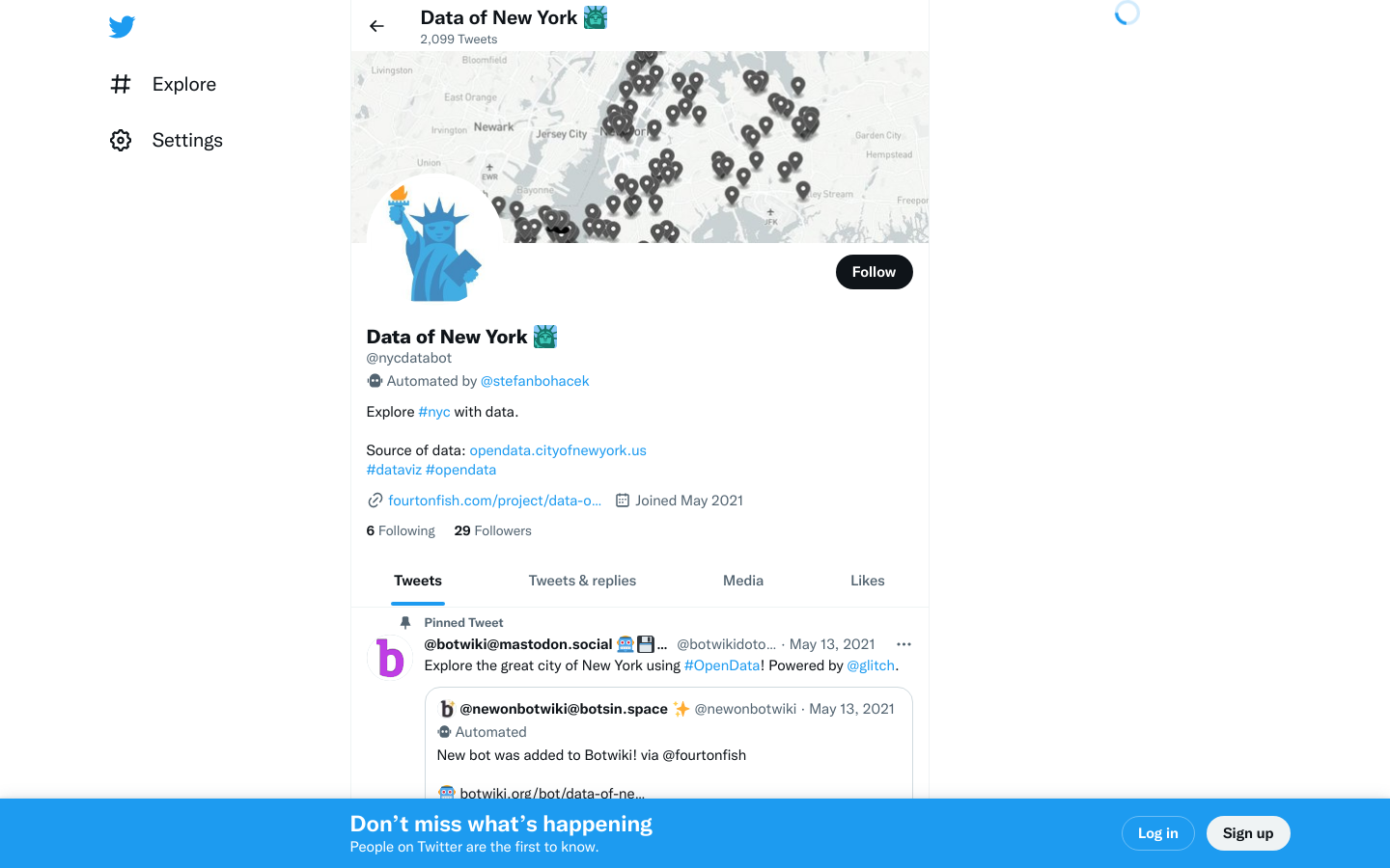
Data of New York
New York City@nycdatabot is a Twitter bot that lets you explore the city of New York through data.

OpenSidewalks
Seattle, WA, United States of AmericaOpenly mapping for the pedestrian experience.

The Opportunity Project for Cities puts open data to work. We bring together governments, community leaders, and tech volunteers to address local challenges through the power of open data and community engagement.

The national voice of municipalities relating to information and communications technology.

Beirut Urban Lab
Raymond Ghosn Building, American University of Beirut, Maroun Semaan Faculty of Engineering and Architecture PO Box. 11-0236 Riad El Solh 1107 2020, Beirut LebanonRefugees as City-Makers

MetroLab Network's Data Governance Initiative
444 North Capitol Street Northwest, Washington, DC 20001, USAThe task force is creating multi-faceted policy and practice tools to inform, guide, and facilitate responsible data governance by cities and counties

City of Sacramento Participatory Budgeting
Sacramento, California, USAOn June 15, 2021, the Sacramento City Council approved the use of up to $1 million in Measure U funds for residents to propose ideas and vote on project concepts.


European Capital of Democracy
Barcelona, SpainThe European Capital of Democracy Initiative will build a strong network of Cities that will foster participation; a platform for hope, and for exercising the will and power to change our world for the better.

ACT NOW
Vienna, VAACT NOW is an international programme run by The Innovation in Politics Institute, which supports local politicians in tackling the current challenges they face, such as migration flows, the climate crisis, and increasing social division resulting from the COVID-19 pandemic.

ClearRoad
99 Wall Street NYClearRoad provides cloud-based solutions to keep roads well-maintained and well-managed Schedule a demo

Community Solutions Network
Montreal, QC, CanadaOur experienced and diverse team of advisors supports municipalities and organizations of all sizes across Canada on a range of data and tech issues. We work alongside our partners’ teams to assess their needs, define problems, mobilize research and knowledge, design solutions and support their implementation. Contact Us

A collection of essays edited by Ana Brandusescu and Jess Reia featuring essays from participants of the AI in the City: Building Civic Engagement and Public Trust symposium that took place remotely on February 10, 2022.
Get email updates
Helpful Links
Reach Out
A project of

With support from
National Endowment for Democracy
Founding Organization
Civic Hall
Technology partner

 Civic Tech Field Guide